
Area code(s) +53-7 Area 26 km² | Time zone EST (UTC-5) Elevation 50 m Local time Monday 10:32 PM | |
 | ||
Wards (Consejos Populares) Diezmero, Dolores-Veracruz, Jacomino, Luyanó Moderno, Rocafort, San Francisco de Paula Weather 20°C, Wind E at 5 km/h, 73% Humidity Points of interest Finca Vigía, Ernest Hemingway, Museo Ernest Hemingway | ||
San Miguel del Padrón is one of the 15 municipalities or boroughs (municipios in Spanish) in which is divided the city of Havana, Cuba. It is on Havana's south-eastern outskirts, stretching from Ciudad Mar to Diezmero and from Reparto Mañana to Caballo Blanco.
Contents
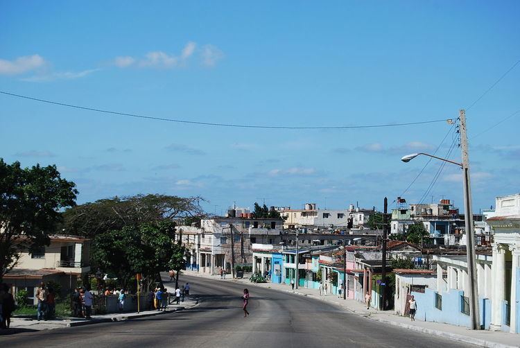
Map of San Miguel del Padron, Cuba
Overview
This vast demographic area was unpopulated in the late 1940s, with small pockets of wealthy and land owners. It became heavily populated during the early 1960s with the emergence of Corea (name given to a stretch of terrain clandestinely occupied by the homeless after being evicted from the main city areas) and new houses along the main street (Calzada de San Miguel). By the mid 1960s the town became administratively adjacent to Guanabacoa.
San Miguel has been notorious for musicians, professional dancers and afro Cuban religious practitioners (Santería, Lukumi, Palo). During the early 1970s it was judicially declared one of the most troublesome towns in Havana due to a high degree of black market goods and comestibles.
Demographics
In 2004, the municipality of San Miguel del Padrón had a population of 159,273. With a total area of 26 km2 (10 sq mi), it has a population density of 6,125.9/km2 (15,866/sq mi).
At present, residents extending out of a radius from Virgen del Camino, Martin Perez, Diezmero, San Francisco de Paula y Juanelo identify as sanmiguelinos. Thus, Making this geographic area a vastly populated region of Havana.