
Capital Cauri Elevation 3,588 m | Region Huánuco Founded December 26, 1940 Time zone PET (UTC-5) Area 811.4 km² | |
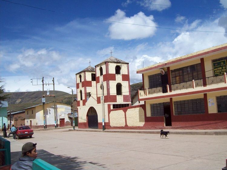 | ||
San Miguel de Cauri District is one of seven districts of the Lauricocha Province in Peru.
Contents
Map of San Miguel de Cauri District, Peru
Geography
The Rawra mountain range traverses the district. Some of the highest mountains of the district are listed below:
References
San Miguel de Cauri District Wikipedia(Text) CC BY-SA