
Country Peru Lowest elevation 190 m (620 ft) Dialing code 042 Capital Moyobamba Dialling code 42 | Highest elevation 3,080 m (10,100 ft) UBIGEO 22 Area 51,253 km² Largest city Tarapoto | |
 | ||
Subdivisions 10 provinces and 77 districts Points of interest Square of Moyobamba, La Chacra de Morales, Castillo de Nicola Felice La, Reserva Ecológica Tingana, La Explanada Destinations Tarapoto, Moyobamba, Rio Abiseo National Park, Cordillera Azul National, Juanjuí | ||
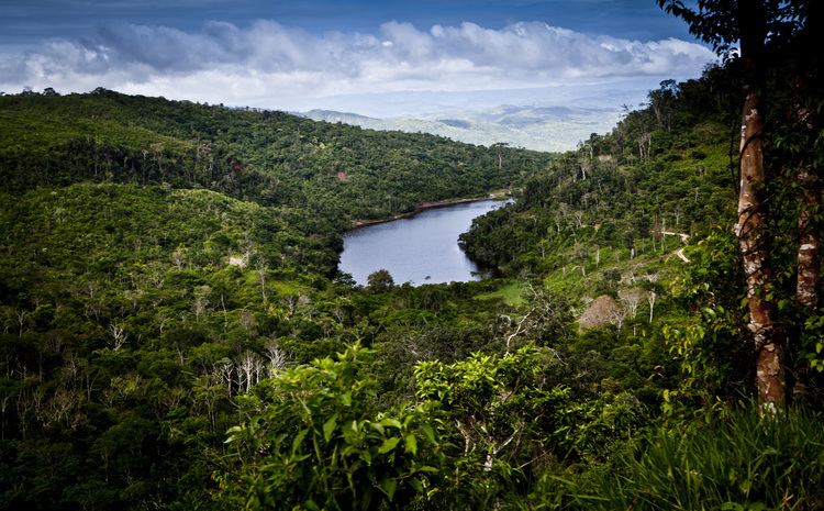
San Martín is a region in northern Peru. Most of the region is located in the upper part of the Peruvian Amazon rainforest. Its capital is Moyobamba and the largest city in the region is Tarapoto.
Contents
Map of San Marino, Peru
Boundaries
Morphology
The territory of San Martín can be divided into four morphological zones:
The Huallaga River is one of the most important rivers in the region. It forms, together with its tributaries a hydrographical system which drains all of the region's territory. The Pongo de Aguirre is an important canyon formed by the Huallaga going through the Andean hills.
History
Tupac Yupanqui entered and subdued the Inca dominion, the province of Moyobamba, known back then by its native name, Muyupampa. In 1539, Spaniard Alonso de Alvarado reached the Mayo River and founded a city he named Santiago de los Valles de Moyobamba, which later became the capital of Maynas. Another important personality was Priest Manuel Sobreviela who, between 1787 and 1790, accomplished traveling across the Huallaga River and subsequently published a map named "Planning for the course of the Huallaga and Ucayali Rivers and for the Pampa del Sacramento".
On August 19, 1821, Moyobamba was the first Peruvian city in declaring its independence.
The construction of a highway in recent years has increased the exchange of different products, benefitting the economy of this region.
Political division
The region is divided into 10 provinces (Spanish: provincias, singular: provincia), which are composed of 77 districts (distritos, singular: distrito).
The provinces, with their capitals in parenthesis, are:
.
Archaeology
Gran Pajáten is a pre Inca complex of circular slate buildings decorated with figures of flying condors situated on the border with La Libertad. Due to its difficult access, tourism is not yet possible at the site.