Barangays ZIP code 8511 | Time zone PST (UTC+8) Area 950.5 km² | |
 | ||
District 1st district of Agusan del Sur | ||
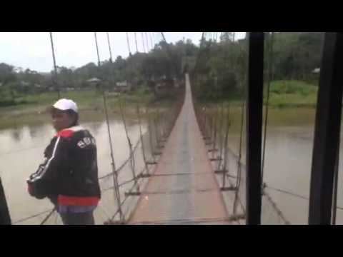
Trip to balit san luis agusan del sur
San Luis, officially the Municipality of San Luis (Cebuano: Lungsod sa San Luis; Filipino: Bayan ng San Luis), is a municipality in the province of Agusan del Sur in the Caraga (Region XIII) of the Philippines. The population was 32,109 at the 2015 census. In the 2016 electoral roll, it had 16,701 registered voters.
Contents
- Trip to balit san luis agusan del sur
- Map of San Luis Agusan del Sur Philippines
- Pamana in binicalan san luis agusan del sur
- Geography
- Barangays
- Demographics
- References
Map of San Luis, Agusan del Sur, Philippines
San Luis was created into a municipality on June 15, 1968, when the barrios of San Luis, Santa Inez, Nuevo Trabajo, Cualision and Baylo were separated from the municipality of Esperanza and constituted into the new town, through Republic Act 5262. Since the 1970s, the town's economy has been largely based on logging industries.
Pamana in binicalan san luis agusan del sur
Geography
San Luis is located at 8°30′N 125°44′E.
According to the Philippine Statistics Authority, the municipality has a land area of 950.5 square kilometres (367.0 sq mi) constituting 7000951000000000000♠9.51% of the 9,989.52-square-kilometre- (3,856.98 sq mi) total area of Agusan del Sur.
Barangays
San Luis is politically subdivided into 25 barangays.
Demographics
In the 2015 census, San Luis had a population of 32,109. The population density was 34 inhabitants per square kilometre (88/sq mi).
In the 2016 electoral roll, it had 16,701 registered voters.
