
Length 375 km | Constructed September 1988 | |
 | ||
Existed: September 1988 – present | ||
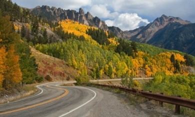
Million dollar highway silverton to ouray colorado san juan skyway
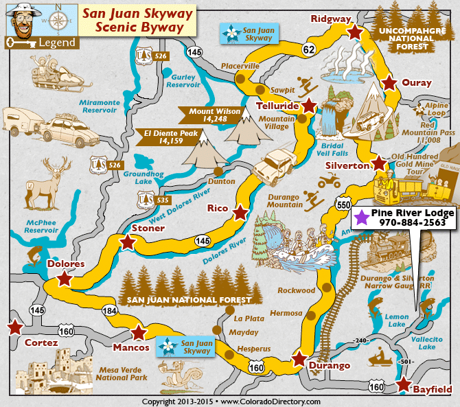
The San Juan Skyway is an All-American Road and a component in the Colorado Scenic and Historic Byway System. It forms a 233.0-mile (375.0 km) loop in the southwest part of the U.S. state of Colorado traversing the heart of the San Juan Mountains. It roughly parallels the routes of the narrow gauge railways: Rio Grande Southern (US 160, SH 145 and SH 62); and the unconnected Ouray and Silverton Branches of the Denver & Rio Grande along US 550 with the Silverton Railroad bridging a part of the gap. Its origin can be traced to the Around the Circle Route promoted by the D&RG.
Contents
- Million dollar highway silverton to ouray colorado san juan skyway
- Million dollar highway 550 in hd1080p silverton to ouray san juan skyway fall colors scenic drive
- US Highway 160
- State Highway 145
- State Highway 62
- US Highway 550
- History
- References

Million dollar highway 550 in hd1080p silverton to ouray san juan skyway fall colors scenic drive
U.S. Highway 160
Starting in Durango, Colorado, the largest city on San Juan Skyway, the byway follows U.S. Highway 160 (US 160) west through the town of Mancos to Cortez passing the entrance to Mesa Verde National Park.
State Highway 145
The byway turns north at Cortez, following State Highway 145 (SH 145) through the town of Dolores and the Dolores River into the San Juan National Forest. The byway passes through Rico, county seat of Dolores County prior to 1941. The old Courthouse still remains. From Rico the byway crosses 10,222 ft (3116 m) Lizard Head Pass and enters the Uncompahgre National Forest. Lizard Head Pass provides views of the 14,159-foot (4,316 m) El Diente Peak, the 14,246-foot (4,342 m) Mount Wilson, the 14,017-foot (4,272 m) Wilson Peak and the pass's namesake, the 13,113-foot (3,997 m) Lizard Head Peak. The byway descends near the town of Ophir past the location of the Ophir Loop of the Rio Grande Southern Railroad. A spur road heads off to the mining town turned ski resort of Telluride. The byway follows the San Miguel River to the town of Placerville.
State Highway 62
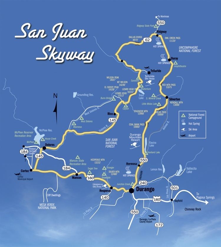
The byway turns east at Placerville onto SH 62 and follows it over Dallas Divide. There are many excellent views of the San Juan Mountains, especially of the mountains around the 14,150-foot (4,310 m) Mount Sneffels. From top of the divide the byway descends into the town of Ridgway. The entire route of the byway from Durango to Ridgway roughly follows the route of the Rio Grande Southern Railroad.
U.S. Highway 550

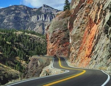
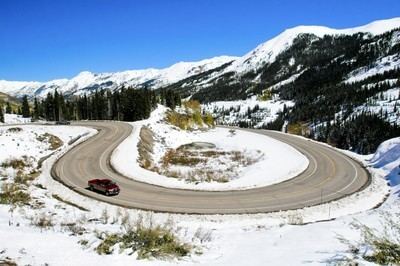
From Ridgway, the byway turns south onto US 550 following the Uncompahgre River into the Victorian mining town of Ouray. The highway is referred to as the Million Dollar Highway from Ouray south back to Durango. For the first 7.0 miles (11.3 km) south of Ouray the byway follows through the Uncompahgre Gorge. Just past the only tunnel on the route, just south of Ouray, the road crosses over Bear Creek Falls on a bridge at the location of an impassable toll booth on the original road. The Alpine Loop National Back Country Byway, a four wheel drive jeep road, takes off in the gorge south of Bear Creek Falls. Before leaving the gorge the byway passes through a snow shed under the Riverside Slide avalanche zone. A monument stands near here honoring those who have lost their lives in the avalanche, including several snowplow operators. At this point the byway enters Ironton Park, a nice flat valley in contrast to the gorge. The road ascends several switchbacks, or S-curves, past the Idarado mining operation to the 11,018-foot (3,358 m) summit of Red Mountain Pass, providing views of Red Mountain and several ghost towns. Back into the San Juan National Forest the highway descends through the Chattanooga Valley to Silverton.
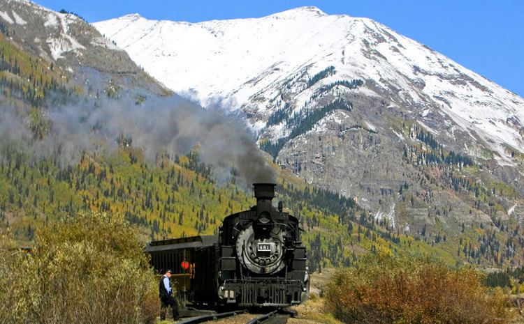
From Silverton the byway passes over the 10,910-foot (3,330 m) Molas Pass and the 10,640-foot (3,240 m) Coal Bank Pass, descending past the ski resort of Purgatory Resort. From Hermosa, the road parallels the Durango and Silverton narrow gauge railroad before returning to Durango.
History
The San Juan Skyway was designated as a National Forest Scenic Byway in September 1988. It was later named a Colorado Scenic and Historic Byway in 1989 and an All-American Road in September 1996.