
County Jennings ZIP code 47223 Elevation 229 m | State Indiana FIPS code 18-67986 Local time Monday 6:08 PM | |
 | ||
Weather 17°C, Wind E at 6 km/h, 52% Humidity | ||
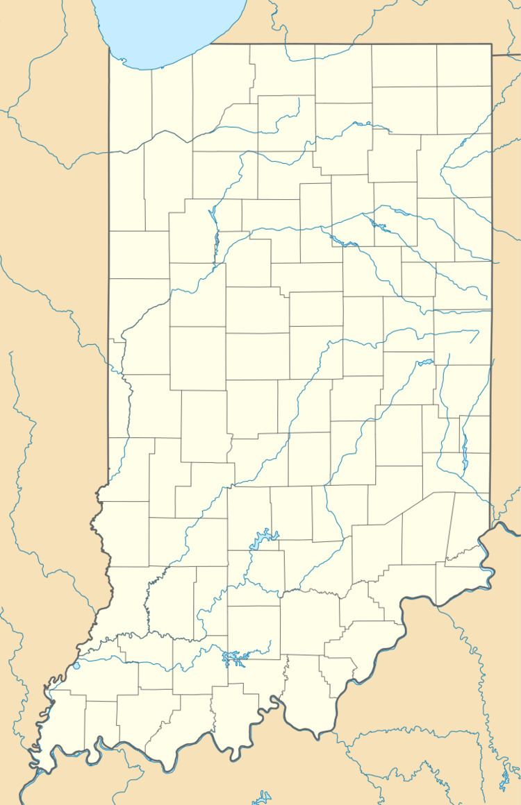
San Jacinto is an unincorporated community in Bigger Township, Jennings County, Indiana.
Contents
Map of San Jacinto, Bigger Township, IN 47223, USA
History
A post office was established at San Jacinto in 1852, and remained in operation until it was discontinued in 1906. The name of the community commemorates the Battle of San Jacinto.
Geography
San Jacinto is located at 38°57′23″N 85°29′50″W.
References
San Jacinto, Indiana Wikipedia(Text) CC BY-SA