
Founded 1853 Postal code 45200 Population 3,415 (2011) | Time zone UTC -3 Dial plan +598 4369 (+4 digits) Local time Monday 6:47 PM | |
 | ||
Weather 22°C, Wind E at 16 km/h, 70% Humidity | ||
San gregorio de polanco 2017 playas cuatro decadas tv
San Gregorio de Polanco is a small city in the Tacuarembó Department of northern-central Uruguay.
Contents
- San gregorio de polanco 2017 playas cuatro decadas tv
- Map of 45200 San Gregorio de Polanco TacuarembC3B3 Department Uruguay
- San gregorio de polanco tacuarembo dedalo films long clip
- Location
- History
- Population
- Places of worship
- References
Map of 45200 San Gregorio de Polanco, Tacuaremb%C3%B3 Department, Uruguay
San gregorio de polanco tacuarembo dedalo films long clip
Location
The city is located on a peninsula on the north shore of the artificial lake Lago Rincón del Bonete and along Route 43, about 140 kilometres (87 mi) south of the department capital city of Tacuarembó. Route 43 passes across the lake to Durazno Department by ferryboat.
History
It was founded on 27 November 1853. On 13 October 1963, its status was elevated to "Villa" (town) by the Act of Ley Nº 13.167, and then on 13 December 1994 to "Ciudad" (city) by the Act of Ley Nº 16.666.
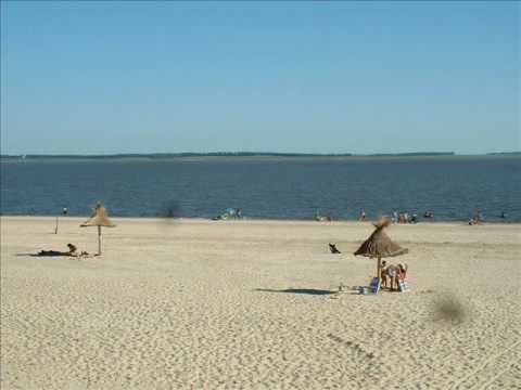
In 1945, the artificial lake of Rincon del Bonete hugely changed the landscape of this town, adding a water surface and, later, beaches.
Population
In 2011, San Gregorio de Polanco had a population of 3,415.
Source: Instituto Nacional de Estadística de Uruguay