
Country Mexico | State Aguascalientes | |
 | ||
Municipal seat San Francisco de los Romo | ||
San Francisco de los Romo is a municipality in the Mexican state of Aguascalientes. It stands at 22°05′N 102°16′W in the central part of the state.
Contents
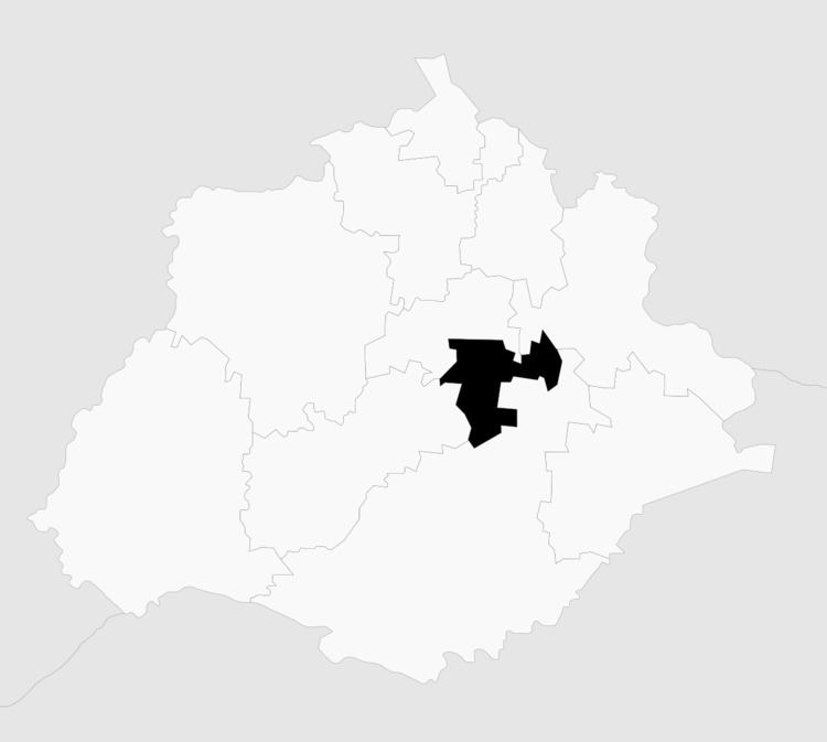
Map of San Francisco de los Romo, Aguascalientes, Mexico
The municipality, which has an area of 139.54 km², reported a 2010 Census population of 35,769. It is located in the middle of the Aguascalientes Valley, at 20 km towards north from the state capital Aguascalientes; it adjoins with the municipalities of Pabellón de Arteaga and Asientos to the north, Jesús María to the west, and Aguascalientes to the south-east.
Demographics
As of 2010, the municipality had a total population of 35,769.
As of 2010, the city of San Francisco de los Romo had a population of 16,124. Other than the city of San Francisco de los Romo, the municipality had 117 localities, the largest of which (with 2010 populations in parentheses) were: Ex-viñedos Guadalupe (3,499), classified as urban, and [[Macario J. Gómez [Colonia], Aguascalientes|Macario J. Gómez [Colonia]]] (2,122), Puertecito de la Virgen (1,976), Paseos de la Providencia (1,867), La Concepción (1,483), and La Escondida (El Salero) (1,318), classified as rural.
San Francisco de los Romo is the sixth-largest community in the state, is located at the northwest corner of the municipality and serves as its municipal seat.