
Country Philippines Region Ilocos Founded 1850 | Area 102.72 km2 District 1st District Mayor Pablo C. Ortega | |
 | ||
Colleges and Universities Northern Philippine College for Maritime Education & Technical Studies | ||
Map of San Fernando, La Union
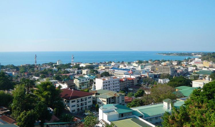
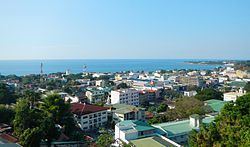
San Fernando, officially the City of San Fernando (Ilocano: Siudad ti San Fernando), is a 3rd class component city in the province of La Union, Philippines. According to the 2015 census, it has a population of 121,812 people.
Contents
- Map of San Fernando La Union
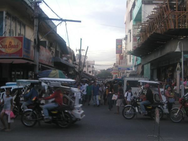
- San fernando city la union 2014 street dance compitation
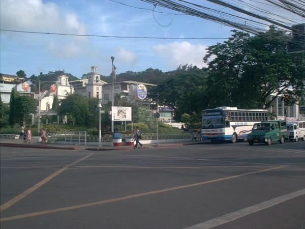
- San fernando city la union philippines plaza street market
- History
- Demographics
- Economy
- Local government
- Barangays
- Elected officials
- Annual community events
- Tourism
- Sister city
- References
The city is bounded by San Juan to the north, Bauang to the south, Bagulin and Naguilian to the east, and the South China Sea to the west. It has a land area of 10,272 hectares (25,380 acres).
San Fernando is the financial, industrial and political center of the province, as well as the center of the official Ilocos Region, or Region I in the regions of the Philippines. (Informally Ilocos includes those areas that speak the Ilocano language outside of the official Ilocos Region.)
San Fernando became a city by virtue of Republic Act 8509 signed into law on February 13, 1998 and ratified on March 20, 1998 by a plebiscite.
San fernando city la union 2014 street dance compitation
San fernando city, la union, philippines (plaza, street & market)
History
San Fernando was founded in 1786 and was named after Saint Ferdinand III of Castile. The city's original settlements, San Vicente de Balanac and San Guillermo de Dalangdang, were attacked by pirates and headhunters.
In 1759, Augustinian friar, Padre José Torres fused these 2 settlements to Pindangan (local word for a place to dry fish), where a church dedicated to San Guillermo the Hermit was. This church is now the Cathedral of St. William the Hermit. The massive 1860's earthquake destroyed the church which was later rebuilt.
It became the cabecera or provincial capital of La Union province in 1850.
From 1896 until 1898, during the Philippine Revolution, the Spanish garrison of San Fernando was attacked by Filipino insurgents under Manuel Tinio y Bundoc and Mauro Ortiz. The Spaniards were finally ousted.
In the Second World War, the last battle of San Fernando was fought during the Japanese occupation at Barangay Bacsil. The Bacsil Ridge Monument was built on the site in the city, the north-eastern portion of the town plaza. The victory enabled the establishment of the United States Army Base, Base M at Poro Point (a buildup area for the Japan invasion). The town was liberated in 1945.
Demographics
In the 2015 census, the population of San Fernando, La Union, was 121,812 people, with a density of 1,200 inhabitants per square kilometre or 3,100 inhabitants per square mile.
Economy
San Fernando is mainly agricultural (rice, legumes, leafy vegetables, root crops, fruit trees, corn and tobacco). But residents treat fishing in coastline and seashore areas as secondary means of livelihood. The natives also have inabel (hand-woven cloth), baskets, shell crafts, including foods, such as kilawen and papaitan, basi, sukang iloko and paslubong such as guapples, longganiza, honey and native rice cakes, puto, suman and bibingka.
Patopat is San Fernando's native delicacy, made from "agdapil" (sugarcane, a tall tropical Southeast Asian Grass (Saccharum officinarum).
San Fernando has many class A hotels and resorts and night clubs.
Local government
The mayor and other elected officers hold office at the city hall of San Fernando. The Sangguniang Bayan is legislature, stationed in the Don Mariano Marcos Building, the Legislative Building in front of the city hall.
Barangays
San Fernando is divided into 59 barangays.
Elected officials
Elected officials (June 30, 2016 – 2019):
Annual community events
The city has a yearly fiesta, celebrated from January 28 to February 15, where a trade fair is opened near the city hall.
The following events happen annually: Annual City Fiesta, February 10; Bacsil Ridge Celebration, March 19; Pindangan Festival, March 20; Ma-tzu Festival, September 16.