
Time zone Central Time (UTC+6) Area 90 km² | Climate Cwb | |
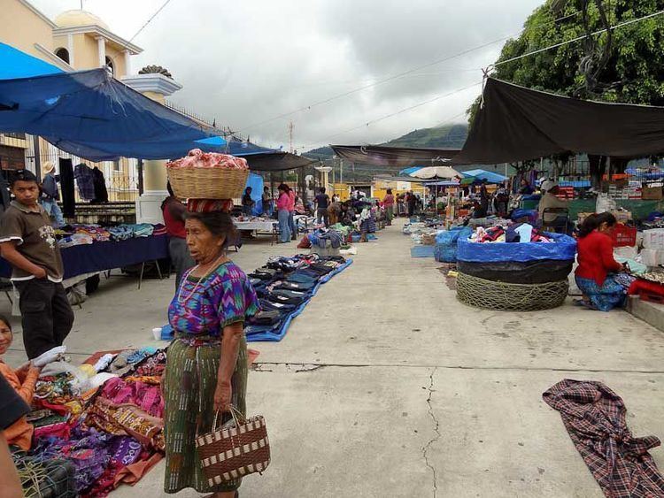 | ||
Convite de san andr s itzapa chimaltenango 2015
San Andrés Itzapa ([anˈdɾes itˈsapa]) is a municipality of Chimaltenango, Guatemala. San Andrés Itzapa is in the eastern region of Chimaltenango, while the district capital lies to the north, Acatenango lies to the south and to the east is Parramos. The city occupies an area of 90 square kilometres, with a total of 31,956 inhabitants, who are called Itzapecos.
Contents
- Convite de san andr s itzapa chimaltenango 2015
- Map of San AndrC3A9s Itzapa Guatemala
- Visita de estudio a san sim n en san andr s itzapa chimaltenango guatemala
- Origin of the name
- Languages
- Flora and fauna
- Agricultural products
- Crafts
- Celebrations
- Places of interest
- Volunteer Organizations
- Climate
- Geographic location
- References
Map of San Andr%C3%A9s Itzapa, Guatemala
Visita de estudio a san sim n en san andr s itzapa chimaltenango guatemala
Origin of the name
San Andrés Itzapa (Itzapa means flint) is an ancient town. The village is mentioned in the Annals of the Cakchiquels, written in 1571. The Spanish named the area "Itzapa y de San Andrés" in honor of their patron saint, the apostle San Andrés (Saint Andrew). The Spanish also called the area "Valle del Durazno" (Valley of the peaches), as the prickly pears common in this area resembled the orchards of home.
Languages
Both Spanish and Kaqchiquel are spoken, although migration from other regions has brought an influx of other languages, such as K'iché and Tz'utujil.
Flora and fauna
San Andrés Itzapa has several heavily forested areas, which include eucalyptus, poplars, pines, holly, oaks, cypress and other evergreen and deciduous species.
Plants found in San Andrés Itzapa include canaque, casuarina, conacaste, hormigo, grabilea and palo blanco, as well as varieties of aloe.
Animals include coyote, armadillos, mountain lions, tisote, lynxes, goyoy, kinkajou, squirrels, racoons, wild boars, dove, cayayes, pajuil, and pheasant.
Agricultural products
Wheat, cotton, corn, beans, avocado, chayote, beet, radish, squash, carrot, broccoli, cabbage, coffee and guaque Chile peppers are grown.
Crafts
The municipality is rich in the craftsmanship of leather goods such as knife and machete sheaths, sandals, articles of jade, tables and chairs, ropemaking, and others.
Celebrations
Places of interest
Volunteer Organizations
Climate
San Andrés Itzapa has a subtropical highland climate (Köppen: Cwb).
Geographic location
San Andrés Itzapa is surrounded by Chimaltenango Department municipalities: