Elevation 1,700 m Area 81.65 km² Local time Saturday 5:35 AM | Founded 1583 Population 3,243 (2005) | |
 | ||
Time zone Central Standard Time (UTC-6) Weather 13°C, Wind NW at 2 km/h, 60% Humidity | ||
El rinc n de san agust n etla san agust n etla mexico
San Agustín Etla is a town and municipality in Oaxaca in south-western Mexico. The municipality covers an area of 81.65 km². It is part of the Etla District in the Valles Centrales region. As of 2005, the municipality had a total population of 3243.
Contents
- El rinc n de san agust n etla san agust n etla mexico
- Map of San AgustC3ADn Etla Oaxaca Mexico
- References
Map of San Agust%C3%ADn Etla, Oaxaca, Mexico
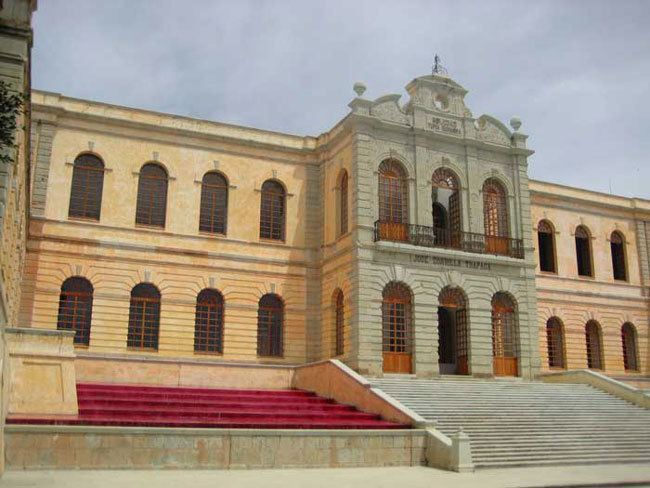
San Agustín Etla is the home of the Centro de las Artes San Agustín Etla, also known as CaSa. The town hosts a lively Day of the Dead celebration each year on November 1.
References
San Agustín Etla Wikipedia(Text) CC BY-SA
