
Country Thailand Time zone THA (UTC+7) Area 416 km² Geocode 3422 | Seat Samrong Postal code 34360 Province Ubon Ratchathani Province | |
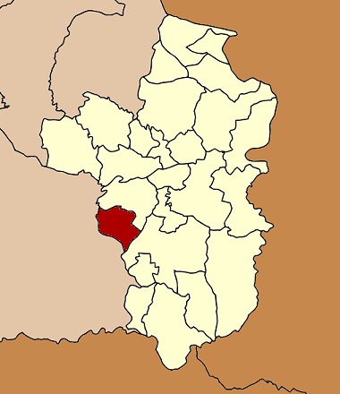 | ||
Samrong (Thai: สำโรง) is a district (Amphoe) in the western part of Ubon Ratchathani Province, northeastern Thailand.
Contents
Map of Samrong District, Ubon Ratchathani, Thailand
History
The minor district (King Amphoe) Samrong was created on April 15, 1985, when the six tambon Samrong, Khok Kong, Nong Hai, Kho Noi, Non Ka Len and Khok Sawang were split off from Warin Chamrap district. It was upgraded to a full district on May 9, 1992.
Geography
Neighboring districts are (from the north clockwise) Warin Chamrap, Det Udom of Ubon Ratchathani Province, Non Khun and Kanthararom of Sisaket Province.
Administration
The district is subdivided into 9 subdistricts (tambon), which are further subdivided into 111 villages (muban). There are no municipal (thesaban) areas, and 9 Tambon administrative organizations (TAO).
References
Samrong District Wikipedia(Text) CC BY-SA