
Basin area 2,800 km² | Mouth elevation 0 | |
 | ||
Similar Lokobe Reserve, Amber Mountain National, Mandrare River, Ankarafantsika National Park, Marojejy National Park | ||
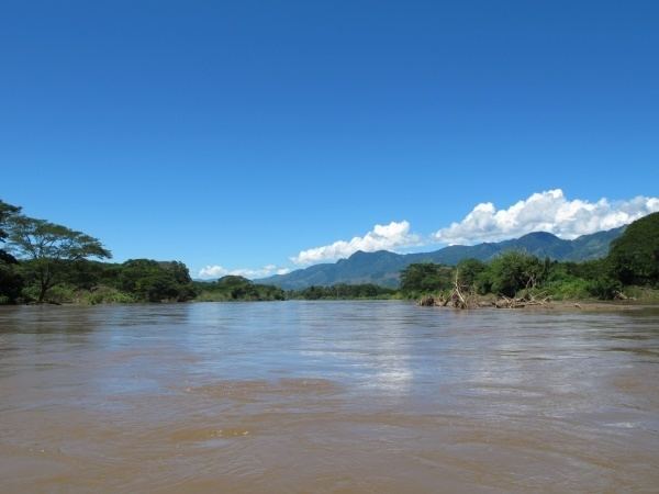
The Sambirano is a river of northwestern Madagascar in the region of Diana. It has its sources at the Maromokotra peak and flows through the Tsaratanana Reserve to the Indian Ocean. Its delta occupies 250 km².
Map of Sambirano, Madagascar
The ecosystem of the river, mainly forests and brushland, has many indigenous species, such as the Sambirano mouse lemur and Sambirano woolly lemur.
The Madagascar dry deciduous forests occupy much of the river basin, although mangroves are evident at parts of the coastal fringe.
References
Sambirano River Wikipedia(Text) CC BY-SA