
Country India Headquarters Samba Vehicle registration JK 21 Area 1,002 km² | Time zone IST (UTC+5:30) Website www.samba.gov.in | |
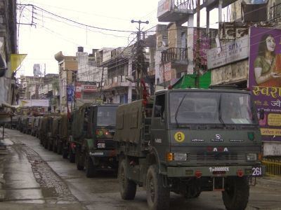 | ||
Tunnel found in samba district along the indo pak border
Samba District is a newly formed district in the Indian administered state of Jammu and Kashmir. Before the formation of this district, the area now under the district was part of Jammu district. Now the district itself covers Samba town and adjoining tehsils namely, Vijaypur and village Supwal, Gahwal. Historically Samba consist of 22 native towns (also known as Mandi), each consist of a separate family. The district is separated from the Jammu district by "Purmandal Bridge". Muslims make up just under 6% of total population according to 2001 India census.Samba town is situated on the stream Basantar.
Contents
- Tunnel found in samba district along the indo pak border
- Map of Samba
- History
- Administration
- Politics
- Demographics
- Religion
- References
Map of Samba
History
Prior to 1947, Samba was a tehsil in the Jammu district.
Administration
Samba district consists of four blocks: Samba, Vijay Pur, Purmandal, and Ghagwal. Each block consists of a number of GREF panchayats. The biggest village is Rajpura.
Politics
Samba District has two assembly constituencies: Samba (reserved for scheduled castes (SC)) and Vijaypur. Both the assembly constituencies are part of Jammu (Lok Sabha constituency).
Demographics
According to the 2011 census Samba District has a population of 318,611, roughly equal to the nation of The Bahamas. This gives it a ranking of 568th in India (out of a total of 640). The district has a population density of 318 inhabitants per square kilometre (820/sq mi) . Its population growth rate over the decade of 2001 to 2011 was 16.9%. Samba has a sex ratio of 886 females for every 1,000 males, and a literacy rate of 82.48%.
Religion
Hindu 86.03%, Sikh 5.63%, Muslim 7.20%,