
Time zone EET (UTC+2) KOATUU 1210138400 | Established 6 April 1977 Area code +380 562 Area 66.8 km² | |
 | ||
Municipality Dnipropetrovsk Municipality | ||
Samarskyi District (Ukrainian: Самарський район) is an urban district of the city of Dnipropetrovsk, in southern Ukraine. It is located at the confluence of the Dnieper and Samara rivers in the eastern part of the city.
Contents
Map of Samars'kyi district, Dnipropetrovsk, Dnipropetrovska, Ukraine
History
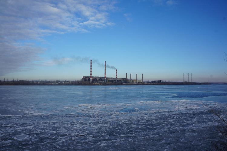
The district was created on 6 April 1977 out of the Industrialnyi District and the cities of Prydniprovsk (1956–1977) and Ihren (1959–1977) as well as a settlement of Chapli.
The city of Prydniprovsk was created around the Prydniprovsk State District Power Station (DRES), a thermal power station that was built in 1954, while the city of Ihren was created around the Ihren Rail Station that still exists since 1873. They were both absorbed into the boundaries of the Samarskyi District.
References
Samarskyi District Wikipedia(Text) CC BY-SA