
Country Thailand Tambon 5 Time zone ICT (UTC+7) Area 338.1 km² Province Phichit Province | Seat Sam Ngam Muban 80 Postal code 66140 Population 42,775 (2015) Geocode 6607 | |
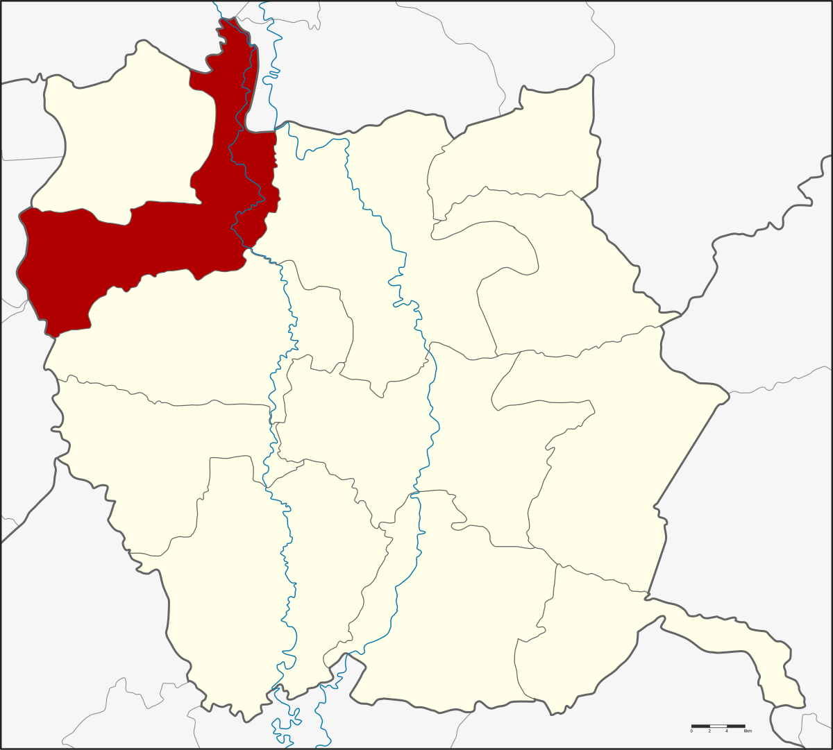 | ||
Sam Ngam (Thai: สามง่าม) is a district (amphoe) in the northwestern part of Phichit Province, northern Thailand.
Contents
- Map of Sam Ngam District Phichit Thailand
- History
- Geography
- Central administration
- Local administration
- References
Map of Sam Ngam District, Phichit, Thailand
History
Originally Sam Ngam was a tambon of Tha Luang District. On 1 March 1939 the government separated Tambon Sam Ngam, Rang Nok, Wang Chik, Phai Rop, Ban Na, Noen Po from Mueang Phichit District, Kamphaeng Din and Hat Kruat from Bang Krathum District, Phitsanulok Province to established the new district, Sam Ngam. Later in 1943 Tambon Wang Chik and Phai Rop were assigned to be part of Pho Prathap Chang District.
Geography
Neighboring districts are (from the east clockwise) Mueang Phichit, Pho Prathap Chang of Phichit Province, Bueng Samakkhi, Sai Thong Watthana, Sai Ngam of Kamphaeng Phet Province, Wachirabarami of Phichit Province again, Bang Rakam and Bang Krathum of Phitsanulok Province.
Central administration
The district Sam Ngam is divided into five sub-districts (Tambon), which are further subdivided into 80 administrative villages (Muban).
Missing numbers are districts which now form Wachirabarami district.
Local administration
There are three sub-district municipalities (Thesaban Tambon) in the district:
There are four sub-district administrative organizations (SAO) in the district: