
Source elevation 449 m Country Austria | Length 88 km | |
 | ||
Main source Traisenberg, Lower Austria449 m (1,473 ft) Sources Lower Austria, Traisenberg | ||
The Salza (also Mariazeller Salza) is an eastern tributary of the Enns. It originates on the Traisenberg in Lower Austria and flows South of Mariazell through the Styrian nature preserve of Wildalpener Salzatal. After 88 km, it meets the Enns around Großreifling.
Map of Salza, Austria
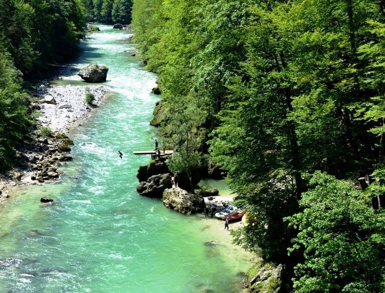
Below the town of Weichselboden is the Prescenyklause, which was constructed with a weir (a small dam) for a saw mill in 1848. Today the water of the reservoir is used to power a small electric power plant. Downstream from the reservoir, the Salza is a favorite site for kayakers.
Many sources and tiny tributaries feed into the Salza and their water is used for the Viennese water supply.
References
Salza (Enns) Wikipedia(Text) CC BY-SA