
Local time Saturday 5:43 AM | Time zone Nepal Time (UTC+5:45) Population 6,196 (1991) | |
 | ||
Weather 17°C, Wind W at 0 km/h, 64% Humidity | ||
Salyantar is a village development committee in Dhading District in the Bagmati Zone of central Nepal.It is the biggest as well as longest tar of Nepal. At the time of the 1991 Nepal census it had a population of 6196 and had 1110 houses in it.The major casts living in salyantar are kumal and darai. millet and pulse are the major products of salyantar. there is a Health Facility in salyantar called as Salyantar Primary Health Care Centre. salyantar is surrounded by four rivers viz. Budhigandaki in West, Netrawoti(aankhu khola) in South, Hyapinge in East and Kaste in North but it is table like place.
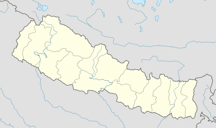
Map of Salyantar, Nepal
References
Salyantar Wikipedia(Text) CC BY-SA