
Country United States GNIS feature ID 502854 Zip code 40372 Local time Friday 7:51 PM | Time zone Eastern (EST) (UTC-5) Elevation 246 m Population 420 (2010) Area code 859 | |
 | ||
Weather 11°C, Wind W at 18 km/h, 78% Humidity Area 4.784 km² (4.766 km² Land / 2 ha Water) | ||
Salvisa is a census-designated place in Mercer County, Kentucky, United States. Its population was 420 as of the 2010 census. Salvisa is located at the junction of U.S. Route 127 and Kentucky Route 1987, 10.7 miles (17.2 km) north of Harrodsburg. Salvisa has a post office with ZIP code 40372, which opened on April 4, 1825.
Contents
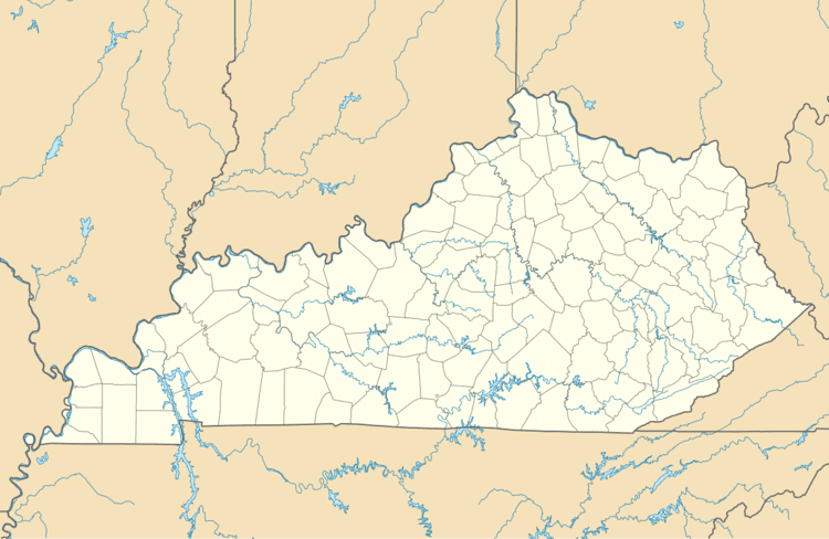
Map of Salvisa, KY 40372, USA
Salvisa was laid out in 1816.
Climate
The climate in this area is characterized by hot, humid summers and generally mild to cool winters. According to the Köppen Climate Classification system, Salvisa has a humid subtropical climate, abbreviated "Cfa" on climate maps.
References
Salvisa, Kentucky Wikipedia(Text) CC BY-SA