
District Udaipur PIN 313027 Population 15,862 (2001) | Time zone IST (UTC+5:30) Elevation 262 m Local time Saturday 3:32 AM | |
 | ||
Weather 27°C, Wind N at 5 km/h, 30% Humidity Neighborhoods Nakoda Nagar, Nagda Bazar, Patel Wada | ||
Salumbar is a small town and a municipality in Udaipur district in the Indian state of Rajasthan. It was ruled by the Chundawat Sisodia rajputs of Mewar.
Contents
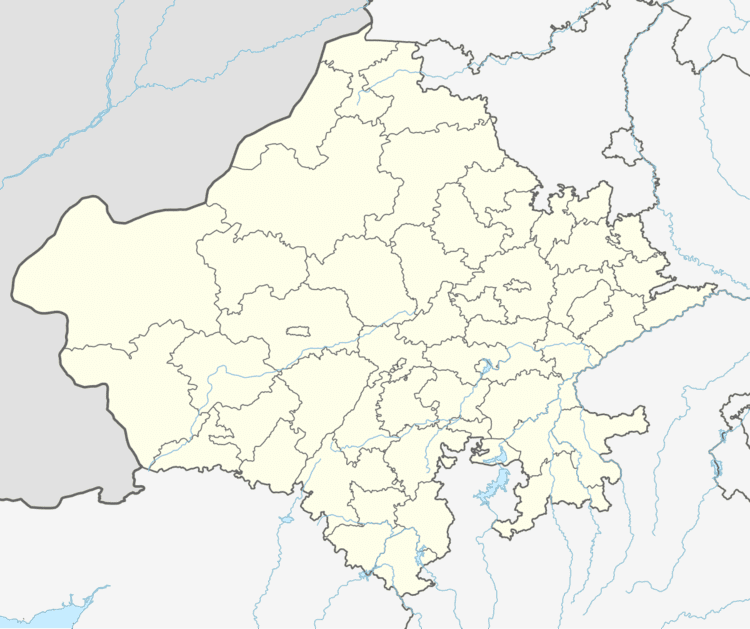
Map of Salumbar, Rajasthan 313027
Geography
Salumbar is located at 24.13°N 74.05°E / 24.13; 74.05. It has an average elevation of 262 metres (859 feet).
Demographics
As of 2011 India census, Salumbar had a population of 16,425 of which 8,420 are males while 8,005 are females. The Female Sex Ratio in Salumbar Municipality stood as 951, against the state average of 928. Salumbar city had a Literacy rate of 85.82%, which was higher than the state average of 66.11%. Male literacy was 93.78%, and female literacy was 77.56%. There are around 3,390 houses under the Salumbar Municipality administration, where it supplies basic amenities like water and sewerage.
Earlier in 2001, As of 2001 India census, Salumbar had a population of 15,862. Males constitute 51% of the population and females 49%. Salumbar has an average literacy rate of 76%, higher than the national average of 59.5%: male literacy is 83%, and female literacy is 68%. In Salumbar, 13% of the population is under 6 years of age.
History
Salumbar was a princely state of British India. The Salumber royal house was founded by Rawat Chunda Singh, the eldest son of Maharana Lakha of Mewar. The present titular head of the royal family is Devrath Singh.