PIN 722158 (Saltora) Population 3,966 (2011) | Time zone IST (UTC+5:30) Telephone/STD code 03241 Area code 03241 | |
 | ||
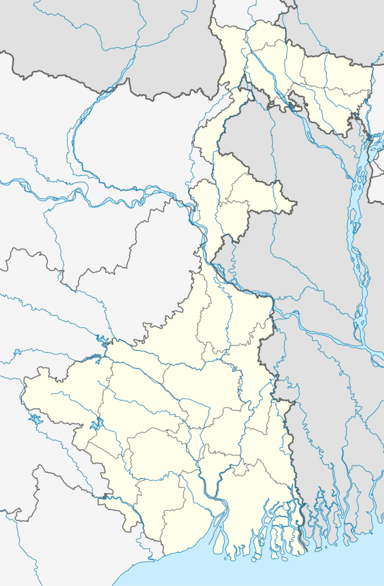
Saltora is a village, with a police station, in Saltora CD Block in Bankura Sadar subdivision of Bankura district in the state of West Bengal, India.
Contents
- Map of Saltora West Bengal 722158
- Geography
- Demographics
- CD Block HQ
- Police station
- Transport
- Healthcare
- References
Map of Saltora, West Bengal 722158
Geography
The Main Bankura Upland is characterised by undulating terrain with many hills and ridges. The area is having a gradual descent from the Chota Nagpur Plateau.
Demographics
As per 2011 Census of India Saltora had a total population of 3,966 of which 2,037 (51%) were males and 1,929 (49%) were females. Population below 6 years was 400. The total number of literates in Saltora was 2,602 (79.27% of the population over 6 years).
CD Block HQ
The headquarters of Saltora CD Block are located at Saltora.
Police station
Saltora police station has jurisdiction over Saltora CD Block. The area covered is 312.62 km2 and the population covered is 134,717.
Transport
State Highway 8 (West Bengal) running from Santaldih (in Purulia district) to Majhdia (in Nadia district) passes through Saltora.
Healthcare
Saltora Block Public Health Centre functions as the central facility in Saltora CD Block, with three Public Health Centres at Ituri, Gogra and Kastora and 23 subcentres.
