
Local time Friday 8:37 PM | ||
 | ||
Weather 19°C, Wind NE at 18 km/h, 29% Humidity | ||
Salto is a settlement in the southern part of the island of Fogo, Cape Verde. It is situated 12 km (7.5 mi) to 15 km (9.3 mi) southeast of the island capital São Filipe and 12 km from the volcanic crater of Pico do Fogo. Salto is linked with the Circular road connecting the capital and Cova Figueira. nearby places include Monte Largo to the north, Achada Furna to the northeast, Fonte Aleixo to the east and Patim and Monte Grande to the northwest. The municipal boundary with Santa Catarina do Fogo is less than a kilometer east. The settlement is named after Ribeira do Salto, the lower part of the stream are mainly salty.
Contents
Map of Salto, Cape Verde
About Salto
The town sits on a hiilly area and features some plateaus and sits above the Atlantic.
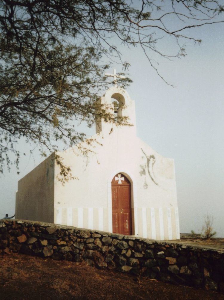
The village has a sightworthy church and some small shops, but no accommodation for tourists. Most of the inhabitants are farmers growing potatoes, vegetables and papayas, other crops includes corn, paprika and tamarinds. Several fields are irrigated using drip irrigation. Many fields were surrounded by stone walls to protect them against erosion.
Aluguer buses connect the village with the capital and Cova Figueira except for Sundays and holidays, it has no fixed schedule.
Its climate is about a degree warmer than Achada Furna and Monte Largo as it is in a lower elevation than the town but higher than the Atlantic.
Salto escaped the ruins of lava of 1951, 1995 the 2014-15 eruptions of Pico do Fogo.