
Population 568 (2011) Sovereign state United Kingdom | OS grid reference TF456910 Post town LOUTH | |
 | ||
Weather 12°C, Wind S at 24 km/h, 72% Humidity | ||
Lincolnshire short rides saltfleetby to mablethorpe
Saltfleetby is a village and civil parish in the East Lindsey district of Lincolnshire, England. It is on the coast of the North Sea, approximately 7 miles (11 km) east from Louth and 10 miles (16 km) north from Mablethorpe. The village had a population of 599 in the 2001 Census, decreasing to 568 at the 2011 Census.
Contents
- Lincolnshire short rides saltfleetby to mablethorpe
- Saltfleetby fishing trip
- Second World War
- References
Until 1999, the village comprised three parishes, Saltfleetby St Peter, Saltfleetby All Saints and Saltfleetby St Clement, each one centred on the church that gave it its name. However, the village has operated as one entity for many years. The hamlet of Three Bridges is south of Saltfleetby St Peter.
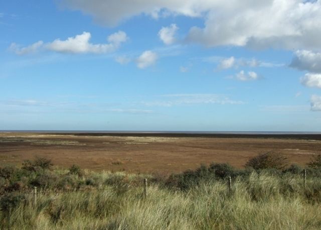
A section of the village seashore is part of the Saltfleetby-Theddlethorpe Dunes National Nature Reserve, which has sea dunes and both saltwater and freshwater marshes. The reserve is one of only five places in the UK where the natterjack toad is found.
Saltfleetby Gas Field, north of North End Lane, is part of the neighbouring village of South Cockerington.
Saltfleetby has the Prussian Queen public house, and fishing lakes with a campsite and shop.
A local name for the village is Soloby.
Saltfleetby fishing trip
Second World War
The Second World War defences constructed in and around Saltfleetby have been documented by William Foot. They included extensive minefields between the Great Eau river and the dunes, a large number of pillboxes and a Home Guard shelter in the field adjacent to The Prussian Queen.