
Country United States GNIS feature ID 0766217 Area 145.4 km² Population 1,043 (2010) | FIPS code 29-65540 Elevation 266 m Local time Wednesday 1:49 PM | |
 | ||
Weather 9°C, Wind E at 29 km/h, 97% Humidity | ||
Salt River Township is one of ten townships in Adair County, Missouri, United States. As of the 2010 census, its population was 1,043. Salt River Township was named from one its principal streams.
Contents
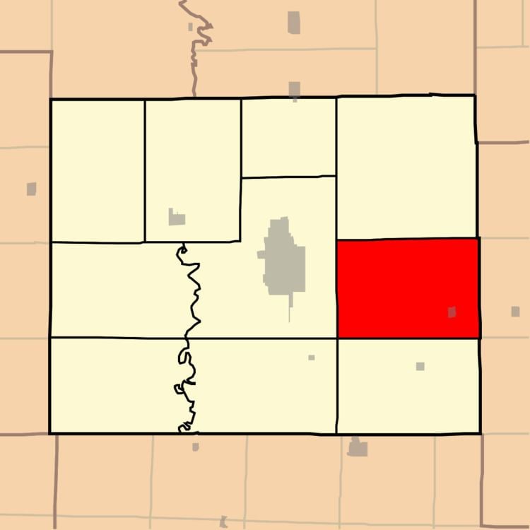
Map of Salt River Township, MO, USA
Geography
Salt River Township covers an area of 56.1 square miles (145.4 km2) and contains one incorporated settlement, Brashear. It contains two cemeteries: Brashear and Paultown.
The streams of Battle Creek, Brushy Fork, Hog Branch, Lost Creek, Steer Creek and Timber Branch run through this township.
References
Salt River Township, Adair County, Missouri Wikipedia(Text) CC BY-SA