
- elevation 3,050 ft (930 m) - elevation 0 ft (0 m) Length 39 km Basin area 194.2 km² | - average 339 cu ft/s (10 m/s) Basin area 194.2 km² | |
 | ||
Source Central Oregon Coast Range | ||
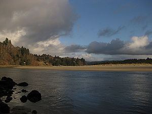
The Salmon River flows from the Central Oregon Coast Range to the Pacific Ocean coast of northwest Oregon in the United States. About 24 miles (39 km) long, it begins and ends in Lincoln County but also flows briefly through western Polk and southern Tillamook counties. Much of its course lies within the Siuslaw National Forest.
Contents
Map of Salmon River, Oregon, USA
Rising in the mountains near the Lincoln–Polk county line, it flows east into Polk County, then north and west, re-entering Lincoln County, entering Tillamook County and re-entering Lincoln County near Oregon Route 18. It continues generally west-southwestward through the Siuslaw National Forest, turning west again to enter the Pacific near Cascade Head, about 4 miles (6 km) north of Lincoln City.
Following the river through the mountains, Route 18 connects to Sheridan, McMinnville and the South Yamhill River valley to the east and U.S. Route 101 to the west. The river and highway pass through the Van Duzer Forest Corridor State Wayside. The river supports populations of wild steelhead and coastal cutthroat trout, as well as chinook and coho salmon released each year from a hatchery at Otis.
TributariesEdit
Named tributaries from source to mouth are the Little Salmon River, which enters from the right; Boulder Creek, left; Indian, Prairie, and Sulphur creeks, right; Deer Creek, left; Treat River, left; Alder Brook, right; Widow Creek, right.
Then Slick Rock and Bear creeks, left; Panther Creek, right; Willis Creek, left; Deer and Salmon creeks, right; Frazer and Rowdy creeks, left, and Crowley and Teal creeks, right.