
River mouth Merrimack River Source Martin's Pond Country United States of America | Length 28 km Mouth Merrimack River | |
 | ||
Main source Martins Pond
280 feet (85 m) at Groton, Massachusetts Basin size 36 square miles (93 km) Discharge Average rate:
150 cu ft/s (4.2 m/s) | ||
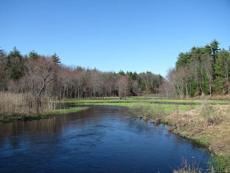
Salmon Brook is one of the 6 major tributaries of the Merrimack River in northeastern Massachusetts in the United States. Its watershed is 31 square miles (80 km2) and is one of the 14 subwatersheds of the Merrimack River. It passes through Groton, Dunstable, and Tyngsborough, Massachusetts, and then through Nashua, New Hampshire.
Contents
Map of Salmon Brook, Nashua, NH, USA
Route descriptionEdit
Salmon Brook begins at Martins Pond in Groton. It then flows approximately 17.5 miles (28.2 km) north-northeast to the Merrimack River. It runs through Lost Lake/Knops Pond, Whitney Pond, Cow Pond, and Upper and Lower Massapoag Ponds. All of these water bodies are dammed. The brook runs roughly parallel to the Nashua River from Lost Lake to the brook's mouth in Nashua.
References
Salmon Brook (Merrimack River) Wikipedia(Text) CC BY-SA