
Area rank 7th largest in Finland Municipal tax rate 19.5% | Charter 1857 Time zone EET (UTC+2) Local time Wednesday 6:19 PM | |
 | ||
Sub-region Eastern Lapland sub-region Weather -5°C, Wind NW at 13 km/h, 48% Humidity | ||
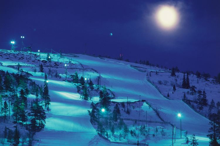
Salla (Kuolajärvi until 1936) is a municipality of Finland, located in Lapland. The municipality has a population of 3,705 (31 March 2016) and covers an area of 5,730.06 square kilometres (2,212.39 sq mi) of which 142.73 km2 (55.11 sq mi) is water. The population density is 0.65 inhabitants per square kilometre (1.7/sq mi). Neighbour municipalities are Kemijärvi, Kuusamo, Pelkosenniemi, Posio and Savukoski. The nearby settlement of Sallatunturi is home to the Salla Ski Resort.
Contents
Map of 98900 Salla, Finland
Baran bayraktar salla gitsin
History
Salla is in the Eastern Lapland and as a border area was affected by the Second World War. Red Army troops invaded Finland at Salla during the Winter War but were stopped by the Finnish Army (see Battle of Salla). Parts of the municipality were ceded to the Soviet Union after the war. The ceded part is sometimes called "Old Salla" or Vanha Salla. During the Continuation War the old town of Salla was on the Soviet side of the border. The German XXXVI Corps attacked the Soviet positions in an operation code-named Polarfuchs. With the help of the Finnish 6th Division it managed to occupy all of the ceded territories. At the end of the war the German troops were pushed out of Lapland by Finnish troops in the Lapland War.
The following villages were ceded to the Soviet Union: Alakurtti, Korja (Korya), Kuolajärvi (Kuoloyarvi), Lampela, Sallansuu, Yläkurtti (Yulyakurtti), Sovajärvi (Sovayarvi), Tuutijärvi (Tuutiyarvi) and Vuorijärvi (Vuoriyarvi).
Communications
Salla is the terminus of a freight-only railway line from Kemijärvi. In 2006, the Finnish Rail Administration announced proposals to close the line. The line formerly extended beyond Salla into Russia.