
Country United States GNIS feature ID 0766245 Area 203.5 km² Population 1,472 (2010) | FIPS code 29-65432 Elevation 257 m Local time Wednesday 9:00 AM | |
 | ||
Weather 8°C, Wind NE at 21 km/h, 96% Humidity | ||
Saling Township is one of eight townships in Audrain County, Missouri, United States. As of the 2010 census, its population was 1,472.
Contents
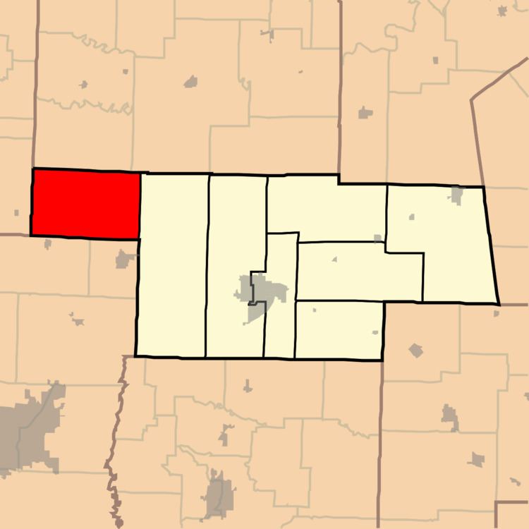
Map of Saling Township, MO, USA
History
Saling Township was organized in 1837, taking its name from Saling Creek.
Geography
Saling Township covers an area of 78.6 square miles (203.5 km2) and contains no incorporated settlements. It contains one cemetery, Mount Pisgah.
Larrabee Lake is within this township. The streams of Big Creek and Boat Branch run through this township.
References
Saling Township, Audrain County, Missouri Wikipedia(Text) CC BY-SA