HDI (2000) 0,748 – medium Elevation 850 m Population 16,688 (2015) | Time zone BRT (UTC-3) Website Salesópolis Area 425 km² Local time Wednesday 9:17 AM | |
 | ||
Weather 20°C, Wind SE at 10 km/h, 72% Humidity Points of interest Parque Nascentes do Tietê, Cachoeira da Porteira Preta, Represa Ponte Nova | ||
Salesópolis is a municipality in the state of São Paulo in Brazil. It is part of the Metropolitan Region of São Paulo. The population is 16,688 (2015 est.) in an area of 424.997 km². Salesópolis sits at an elevation of 850 metres (2,790 ft). It is noted for being the source of the Tietê River.
Map of Sales%C3%B3polis - State of S%C3%A3o Paulo, Brazil
Salesópolis was founded in the 19th century as São José do Paraitinga, and later became the parish of Santana de Mogi das Cruzes in 1838. The parish was elevated to municipality status on March 24, 1857, but renamed Salesópolis in 1905 after a visit of the president of Brazil, Campos Sales (1841-1913).
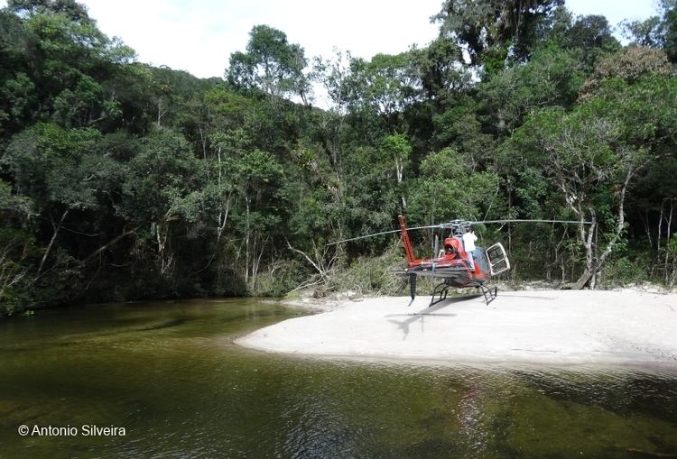
The Tietê River flows in the northern part of the municipality, and much of the southern part of the municipality is mountainous, heavily forested, and inaccessible. The Atlantic Forest (Mata Atlântica) of Salesópolis were largely destroyed in the late 19th and early 20th century, but 96 ha of the municipality are now protected as part of the Boracéia Biological Station, a unit of the Museum of Zoology of the University of São Paulo established in 1954. Salesópolis is home to the Buchenavia rabelloana, a species of plant in the Combretaceae family. The species is listed as endangered on the IUCN Red List of Threatened Species.
