
Country United States ZIP codes 61014, 61046, 61053 Elevation 243 m Local time Wednesday 6:30 AM | Time zone CST (UTC-6) GNIS feature ID 0429701 Area 92.13 km² Population 348 (2010) | |
 | ||
Weather 3°C, Wind E at 13 km/h, 93% Humidity | ||
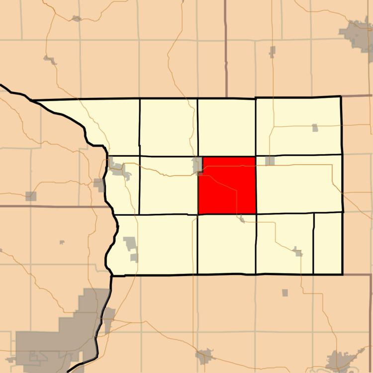
Salem Township is one of twelve townships in Carroll County, Illinois, USA. As of the 2010 census, its population was 348 and it contained 169 housing units.
Contents
- Map of Salem Township IL USA
- Geography
- Cities towns villages
- Unincorporated towns
- Cemeteries
- Major highways
- Airports and landing strips
- School districts
- Political districts
- References
Map of Salem Township, IL, USA
Geography
According to the 2010 census, the township has a total area of 35.57 square miles (92.1 km2), of which 35.56 square miles (92.1 km2) (or 99.97%) is land and 0.01 square miles (0.026 km2) (or 0.03%) is water.
Cities, towns, villages
Unincorporated towns
(This list is based on USGS data and may include former settlements.)
Cemeteries
The township contains these three cemeteries: Adams-Daggert, Oakville and Trinity Evangelical Lutheran.
Major highways
Airports and landing strips
School districts
Political districts
References
Salem Township, Carroll County, Illinois Wikipedia(Text) CC BY-SA