
Country United States County Oconee FIPS code 45-62980 Elevation 326 m Zip code 29676 Local time Wednesday 7:48 AM | State South Carolina Time zone Eastern (EST) (UTC-5) GNIS feature ID 1230283 Area 210 ha Population 149 (2013) Area code 864 | |
 | ||
Weather 11°C, Wind SW at 0 km/h, 85% Humidity | ||
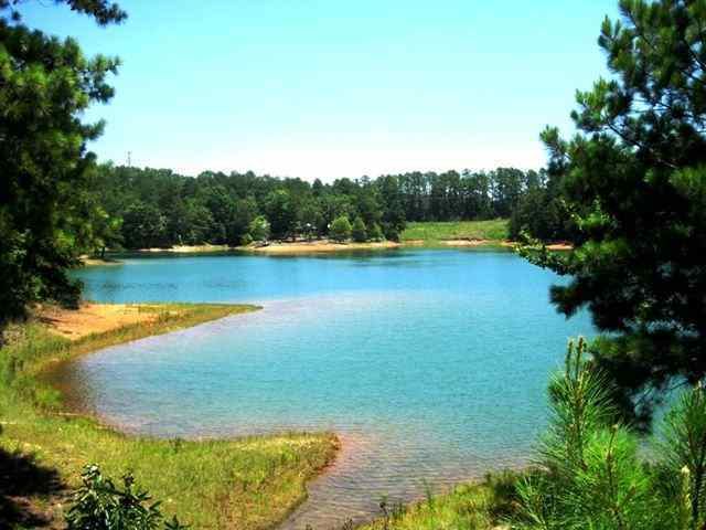
151 fishers knob salem south carolina
Salem is a town in Oconee County, South Carolina, United States. The population was 135 at the 2010 United States Census.
Contents
- 151 fishers knob salem south carolina
- Map of Salem SC 29676 USA
- Geography
- Demographics
- Tamassee Salem Middle High School Controversy
- References
Map of Salem, SC 29676, USA
Geography
Salem is located at 34°53′19″N 82°58′29″W (34.888599, -82.974666).
According to the United States Census Bureau, the town has a total area of 0.8 square miles (2.2 km²), all of it land.
Demographics
As of the census of 2000, there were 126 people, 54 households, and 36 families residing in the town. The population density was 150.5 people per square mile (57.9/km²). There were 72 housing units at an average density of 86.0 per square mile (33.1/km²). The racial makeup of the town was 95.24% White, 0.79% African American and 3.97% Native American.
There were 54 households out of which 31.5% had children under the age of 18 living with them, 59.3% were married couples living together, 7.4% had a female householder with no husband present, and 33.3% were non-families. 31.5% of all households were made up of individuals and 22.2% had someone living alone who was 65 years of age or older. The average household size was 2.33 and the average family size was 2.94.
In the town, the population was spread out with 23.8% under the age of 18, 7.9% from 18 to 24, 27.8% from 25 to 44, 18.3% from 45 to 64, and 22.2% who were 65 years of age or older. The median age was 40 years. For every 100 females there were 85.3 males. For every 100 females age 18 and over, there were 77.8 males.
The median income for a household in the town was $30,000, and the median income for a family was $33,125. Males had a median income of $35,000 versus $26,667 for females. The per capita income for the town was $14,980. There were 9.7% of families and 12.5% of the population living below the poverty line, including 11.1% of under eighteens and 18.8% of those over 64.
Salem existed as a community since before 1900, but was officially incorporated as a town in 1951. Its town limits have not changed from then to now (2009). The town line is a pentagon with roughly equal sides from road intersection to road intersection. The local merchants around that time built a rock retainer wall to improve and beautify the bank on the south side of Main Street, which was paved in the 1950s. Salem's service area includes a much larger population than the town proper, as several large subdivisions are nearby.
Tamassee-Salem Middle-High School Controversy
In 2015 the SDOC school board voted 5-0 unanimously 5-0 to close Tamassee-Salem Middle/High School at the end of the school year.
This was met with a negative response by a lot of the parents that went to Tamassee-Salem or that had children there. There was a petition up to keep the school open that had 332 supporters. They eventually opened a charter school named 'EAGLE RIDGE'. Most of the children that changed schools began going to Walhalla schools.