
Area 3.44 km² | ||
 | ||
Governing body | ||
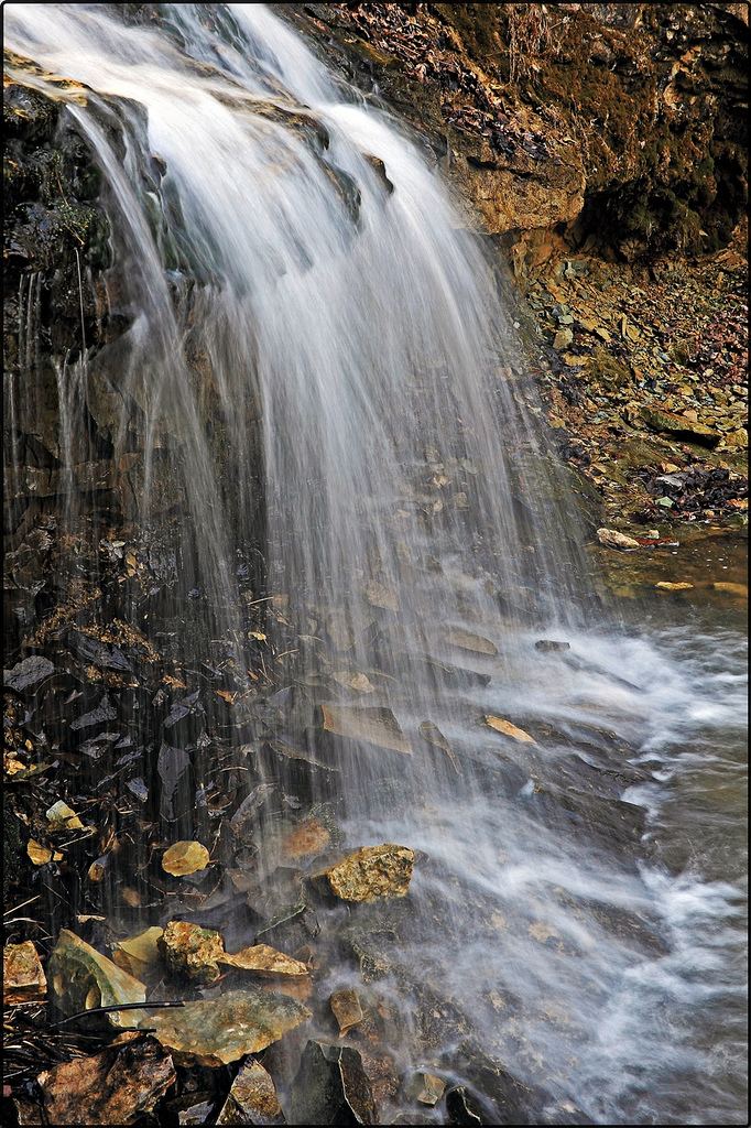
Salamonie river state forest march 29 2015
Salamonie River State Forest is a 850-acre (3.4 km2) state forest in Wabash and Huntington counties, Indiana.
Contents
- Salamonie river state forest march 29 2015
- Map of Salamonie River State Forest Lagro Township IN 46941 USA
- Exploring salamonie river state forest
- References
Map of Salamonie River State Forest, Lagro Township, IN 46941, USA
The forest is located along the Salamonie River and includes Salamonie Lake. The nearest city to the forest is Lagro. Salamonie State Forest is administered by the Indiana Department of Natural Resources. Salamonie River State Forest was established in the mid-1930s; the Civilian Conservation Corps reforested the site and built its recreational facilities.
The Hominy Ridge Shelter House was listed on the National Register of Historic Places in 1994.
Exploring salamonie river state forest
References
Salamonie River State Forest Wikipedia(Text) CC BY-SA