
Country Greece Highest elevation 375 m (1,230 ft) Time zone EET (UTC+2) Municipality Salamis Island Area code 21046 Regional unit Islands | Districts 2 Lowest elevation 0 m (0 ft) Postal code 189 00 Local time Wednesday 11:48 AM Administrative region Attica | |
 | ||
Weather 19°C, Wind NW at 18 km/h, 33% Humidity | ||
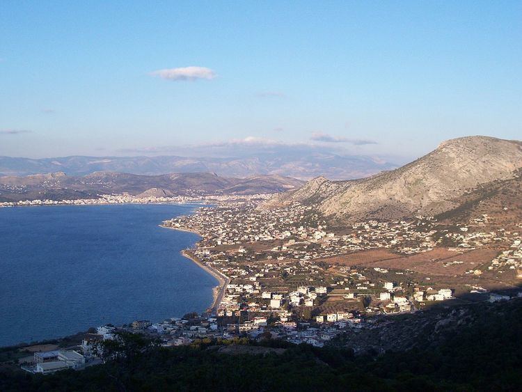
Salamina City (Greek: Σαλαμίνα, Salamis (Σαλαμίς, old-fashioned), or Kulluri (Arvanitika: Kuluri)) is the largest town and a former municipality on Salamis Island in Greece. Since the 2011 local government reform it is part of the municipality Salamis, of which it is the seat and a municipal unit.
Contents
Map of Salamina 189 00, Greece
It is part of the Islands regional unit of the Attica region. The town lies in the northwestern part of the island. It had a population of 25,370 inhabitants at the 2011 census, the vast majority of whom are Arvanites. It was the municipal seat of the former municipality of Salamina, which had a land area of 80.992 square kilometres (31.271 sq mi) and comprised about 84 percent of the island (all except the easternmost central coast, which comprised the former municipality of Ampelakia). The population of the municipal unit was 31,776 in 2011. It includes several other towns, the largest of which are Aiánteio (pop. 4,860), Stenó (198), Kanákia (206), Peristéria (206), Batsí (235), Kolónes (153), and Pérani (226).
Subdivisions
The municipal unit Salamina is subdivided into the following communities (constituent villages in brackets):