
Local time Wednesday 4:12 PM | Region Kantō - Tree Sakura Population 42,484 (Sep 2015) | |
 | ||
Weather 12°C, Wind S at 18 km/h, 47% Humidity Points of interest Amabikisan Rakuhōji (Amabiki, Sakuragawa Park, Kinokoyama, Tomiya‑kannon Temple, Makabejoseki Park | ||
Sakuragawa (桜川市, Sakuragawa-shi) is a city located in Yūki District, Ibaraki Prefecture, in the northern Kantō region of Japan. As of September 2015, the city had an estimated population of 42,484 and a population density of 236 persons per km². Its total area was 180.06 km².
Contents
- Map of Sakuragawa Ibaraki Prefecture Japan
- Geography
- Surrounding municipalities
- History
- Economy
- Education
- Train
- Highway
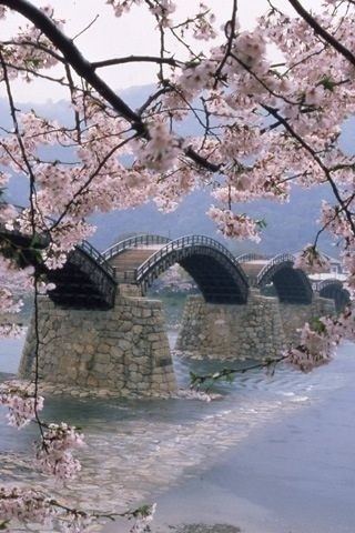
- Local attractions
- Noted people from Sakuragawa
- References
Map of Sakuragawa, Ibaraki Prefecture, Japan
Geography
Located in central-western Ibaraki Prefecture, Sakuragawa is bordered by Tochigi Prefecture to the north. The city is lined by mountains along its east side, named Tomiya, Amabiki, Kaba and Ashio, from north to south. Mt. Tsukuba dominates the southern side, although it is not located within the borders of the city. The eponymous Sakuragawa River has its source in the Iwase area of the city.
Surrounding municipalities
History
The city of Sakuragawa was established on October 1, 2005, from the merger of the towns of Iwase (in the north), Makabe (in the south) with the village of Yamato (in the center). Iwase was formerly from Nishiibaraki District, while Makabe and Yamato were formerly from Makabe District.
Economy
The economy of Sakuragawa is primarily agricultural. Stone quarrying is also important.
Education
Sakuragawa has seven elementary schools, five middle schools and three high schools.