
Basin size 5,191 km (2,004 sq mi) Basin area 5,191 km² | Length 225 km | |
 | ||
River mouth | ||
Chai nat sakae krang river
The Sakae Krang River (Thai: แม่น้ำสะแกกรัง, rtgs: Maenam Sakae Krang, [mɛ̂ːnáːm sa.kɛː kraŋ]) is a tributary of the Chao Phraya River. It originates in Mae Wong National Park, Kamphaeng Phet Province. It is 225 kilometres (140 mi) long, with most of its length in Uthai Thani Province. It joins the Chao Phraya River in Uthai Thani city near the Wat Tha Sung (Tha Sung temple).
Contents
- Chai nat sakae krang river
- Map of Sakae Krang Thailand
- Tributaries
- Sakae Krang Basin
- Flood of 2011
- References
Map of Sakae Krang, Thailand
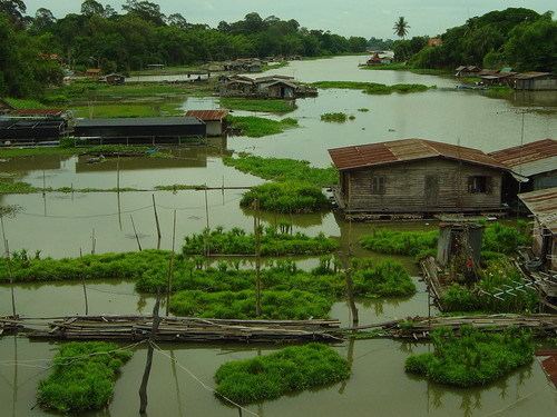
According to the Tourism Authority of Thailand, the people of Uthai Thani use the Sakae Krang River to grow pandanus and to raise fish in floating baskets, which is the primary occupation of the Uthai Thani people.
Tributaries
Tributaries of the Sakae Krang River include the Thap Salao, Wang Ma, Wong, Pho and Tak Daet Rivers.
Sakae Krang Basin
The Sakae Krang is part of the Chao Phraya Watershed. The total land area drained by the Sakae Krang River is 5,191 square kilometres (2,004 sq mi).
Flood of 2011
In 2011, after high rainfall and poor flood control management, much of the Sakae Krang River overflowed its banks between September to November that year. The main riverside market in Uthai Thani City was under up to 160 centimetres (5 ft) of water for over seven weeks. The new market a few kilometers away was also severely flooded for almost as long.