
Time zone UTC+1 | Area 16.37 km² | |
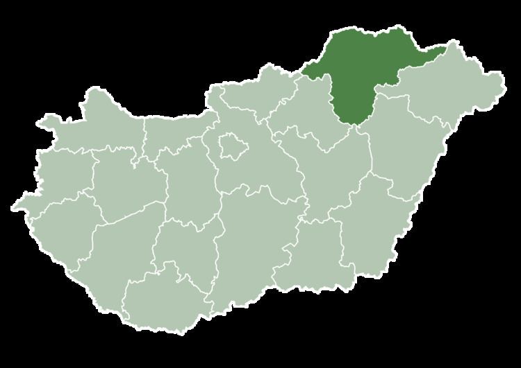 | ||
County Borsod-Abaúj-Zemplén County Website | ||
Sajókeresztúr is a village in Borsod-Abaúj-Zemplén County in northeastern Hungary. It lies about 7 km north of Miskolc between Szirmabesenyő and Sajóecseg. There is a kindergarten, a primary school (Eötvös József Általános Iskola) and a football team (Sajókeresztúri Fociklub) in the village.
Contents
Map of Saj%C3%B3kereszt%C3%BAr, Hungary
History
Sajókeresztúr is a settlement inhabited since the prehistoric ages. It is one of the settlements along the Sajó river, close to Bükk mountains, which was put on the road of market town development by viticulture, wine production and trade.
The first graphic reference to its existence remained from the 14th-15th centuries, in the registry book of the Miskolc kin (family) estates, referred to as ’Keresztwr’. It got its name from its church, which was mentioned as ‘ecclesia Sancte Crucis’ in the papal registry documents.
Sajókeresztúr was the property of one of the most considerable land-owner families of the time, the Bebek family. It obtained the rank of market town in the 17th century. Is inhabitant were going through torturing times under the Turks, still remained there. In the modern history of the settlement the Borsod Metal Works - which were built up in the limits of the settlement, but do not work anymore - played a significant role.
Demographics
97% of the population is Hungarian, 3% declared oneself Romani.