Time zone CET (UTC+1) Area 23.54 km² Population 358 (1999) | Canton Thenon INSEE/Postal code 24473 /24210 Local time Wednesday 5:13 AM Arrondissement Périgueux | |
 | ||
Weather 6°C, Wind E at 3 km/h, 92% Humidity | ||
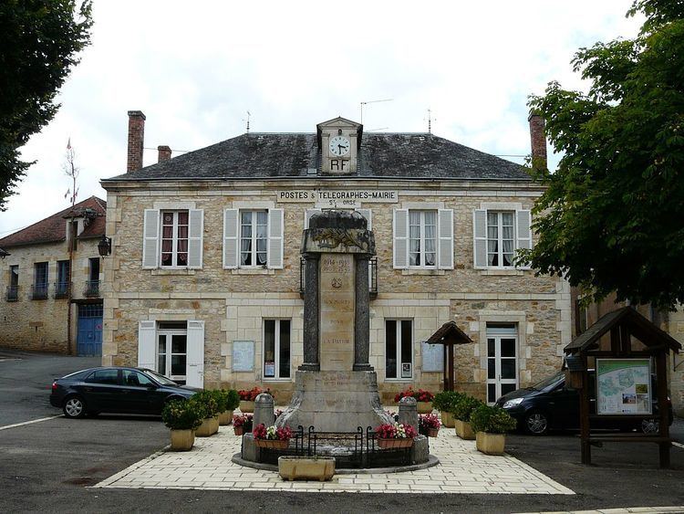
Sainte-Orse is a commune in the Dordogne department in Nouvelle-Aquitaine in southwestern France. The church of Saint Ursus (Saint Ours) dates from the 11th-12th century. The castle dates from the 15th-16th century.
Contents
Map of 24210 Sainte-Orse, France
Village History
The first written reference of the town is the village church, "Sancta Ursa" recorded in the year 1072. The "Cassini map" of France between 1756 and 1789, shows the village under the name of "'Saint Orse"', and during the revolutionary period of the National Convention (1792-1795), the name was "'Orse-le-stony".
Land Marks
A number of Historic buildings are located in the town:
References
Sainte-Orse Wikipedia(Text) CC BY-SA
