
Country France Canton Saint-Martin-de-Ré Area 9.84 km² Local time Wednesday 5:07 AM | Intercommunality Ile de Ré Population 2,655 (1999) | |
 | ||
Weather 10°C, Wind SE at 14 km/h, 82% Humidity | ||
Sainte-Marie-de-Ré is a commune in the Charente-Maritime department in southwestern France.
Contents
- Map of 17740 Sainte Marie de RC3A9 France
- Geography
- History
- Population
- Economy
- Religious sites
- Civil sites
- International relations
- References
Map of 17740 Sainte-Marie-de-R%C3%A9, France
Geography
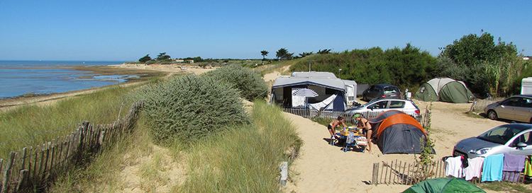
Sainte-Marie-de-Ré is a small village, on the southern coast of the Île de Ré, facing the Île d'Oléron.
The coastal part is bordered by beaches and small cliffs.
History
Sainte-Marie (as a word) was first used as a designation for a Parish Church in the late 12th century. The village centered on grape farming for over a millennium and maintains a strong rural identity. The commune was officially begun in 1790.
Population
Economy
Religious sites
Civil sites
International relations
The commune is twinned with:
References
Sainte-Marie-de-Ré Wikipedia(Text) CC BY-SA