
Time zone CST (UTC-6) Area 111.5 km² Population 551 (2010) | Established November 8, 1859 Elevation 146 m Local time Tuesday 9:09 PM | |
 | ||
ZIP codes 62448, 62449, 62459, 62475, 62480 Weather 12°C, Wind NE at 11 km/h, 81% Humidity | ||
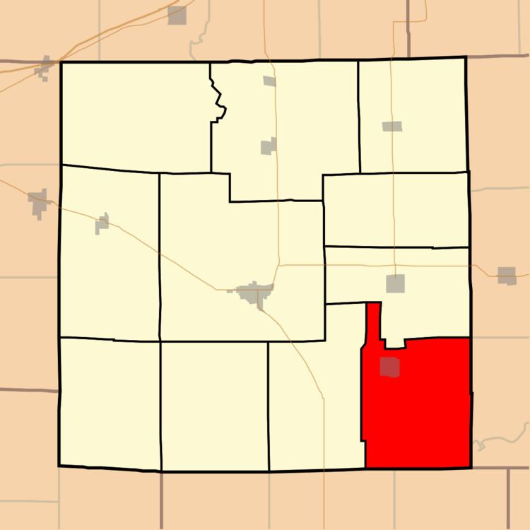
Sainte Marie Township is one of eleven townships in Jasper County, Illinois, USA. As of the 2010 census, its population was 551 and it contained 264 housing units.
Contents
- Map of Ste Marie Township IL USA
- Geography
- Cities towns villages
- Adjacent townships
- Cemeteries
- Rivers
- School districts
- Political districts
- References
Map of Ste. Marie Township, IL, USA
Geography
According to the 2010 census, the township has a total area of 43.06 square miles (111.5 km2), of which 42.95 square miles (111.2 km2) (or 99.74%) is land and 0.11 square miles (0.28 km2) (or 0.26%) is water.
Cities, towns, villages
Adjacent townships
Cemeteries
The township contains these five cemeteries: St. Mary's Assumption, Collins/Faltmier, Ste Marie City, St. Valentine/South Bend, Yager
Rivers
School districts
Political districts
References
Sainte Marie Township, Jasper County, Illinois Wikipedia(Text) CC BY-SA