
Country United States Time zone CST (UTC-6) Elevation 148 m Local time Tuesday 11:59 PM | Established November 5, 1867 ZIP codes 62449, 62454 Area 148.7 km² Population 2,789 (2010) | |
 | ||
Weather 6°C, Wind N at 13 km/h, 74% Humidity | ||
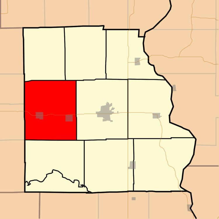
Oblong Township is one of ten townships in Crawford County, Illinois, USA. As of the 2010 census, its population was 2,789 and it contained 1,251 housing units.
Contents
- Map of Oblong Township IL USA
- Geography
- Cities towns villages
- Unincorporated towns
- Cemeteries
- Major highways
- Lakes
- Landmarks
- School districts
- Political districts
- References
Map of Oblong Township, IL, USA
Geography
According to the 2010 census, the township has a total area of 57.43 square miles (148.7 km2), of which 57.39 square miles (148.6 km2) (or 99.93%) is land and 0.04 square miles (0.10 km2) (or 0.07%) is water.
Cities, towns, villages
Unincorporated towns
(This list is based on USGS data and may include former settlements.)
Cemeteries
The township contains these three cemeteries: Oblong, Prier and White Oak.
Major highways
Lakes
Landmarks
School districts
Political districts
References
Oblong Township, Crawford County, Illinois Wikipedia(Text) CC BY-SA