City Montreal Elevation 70 ft (20 m) Local time Tuesday 11:03 PM | Established 1840 Borough Ville-Marie, Montreal | |
 | ||
Weather 4°C, Wind N at 2 km/h, 83% Humidity Hotels Hotel Dorion, Résidence La Française, Hôtel Palace Club, Centreville Downtown Montreal | ||
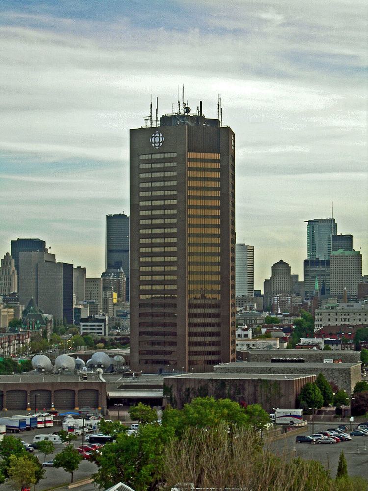
The Sainte-Marie neighbourhood is located on the eastern end of Downtown Montreal in the borough of Ville-Marie. The Jacques-Cartier Bridge is located in this neighbourhood.
Contents
Map of Sainte-Marie, Montr%C3%A9al, QC, Canada
History
Prior to the construction of the Maison Radio-Canada, the area was home to a working-class neighborhood popularly known as Faubourg à m'lasse, demolished in the 1960s.
The neighbourhood forms a Montreal City Council district called Sainte-Marie and is part of the provincial riding of Sainte-Marie–Saint-Jacques and the federal ridings of Laurier—Sainte-Marie and Hochelaga.
The Sainte-Marie rapids are in the St. Lawrence River between the neighbourhood of Sainte-Marie and St. Helen's Island.
Transport
The area is served by two Montreal Metro stations, Frontenac and Papineau.
References
Sainte-Marie, Montreal Wikipedia(Text) CC BY-SA
