
Time zone CET (UTC+1) Local time Wednesday 4:49 AM | Region Normandy Canton Saint-Saëns Area 14.33 km² Population 251 (1999) | |
 | ||
Intercommunality Saint-Saëns-Portes de Bray Weather 8°C, Wind SW at 13 km/h, 90% Humidity | ||
Sainte-Geneviève (sometimes Sainte-Geneviève-en-Bray) is a commune in the Seine-Maritime department in the Haute-Normandie region in northern France.
Contents
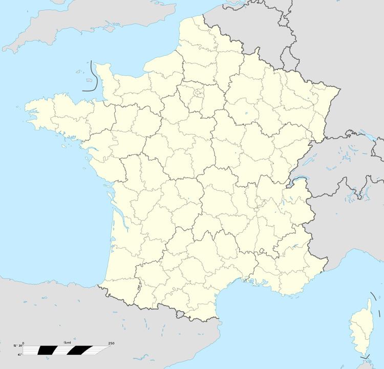
Map of 76440 Sainte-Genevi%C3%A8ve, France
Geography
A farming village situated in the Pays de Bray, some 28 miles (45 km) southeast of Dieppe at the junction of the D1, the D83 and the D915 roads. Three small tributaries of the Béthune River have their source in the land around the commune.
Places of interest
References
Sainte-Geneviève, Seine-Maritime Wikipedia(Text) CC BY-SA