
Country Canada Time zone EST (UTC−5) Area code(s) 450 and 579 Area 94.4 km² Local time Tuesday 10:17 PM | Constituted July 1, 1855 Postal code(s) J0N Highways Route 335 Population 14,990 (2014) Province Québec | |
 | ||
Weather 2°C, Wind NW at 3 km/h, 84% Humidity RCMs Laurentides, Thérèse-De Blainville Regional County Municipality | ||
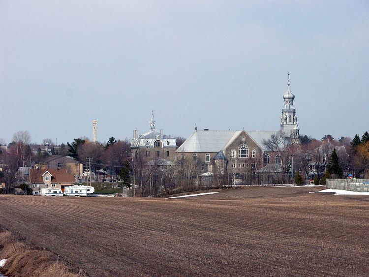
Sainte-Anne-des-Plaines is a city in southwestern Quebec, Canada, 40 km northwest of the city of Montreal in the regional county of Laurentides more precisely in the district of Thérèse-De Blainville. Its population was 14,990 by the census of 2014.
Contents
Map of Sainte-Anne-des-Plaines, QC, Canada
The city houses the Sainte-Anne-des-Plaines Complex of the Correctional Service of Canada, which includes the Regional Reception Centre (multi-level security), housing Special Handling Unit (SHU), Canada's highest-security unit; Sainte-Anne-des-Plaines Institution (maximum security),; and the Regional Mental Health Centre (multi). It also houses the Archambault Institution.
This city is also known for having a lot of sugar shacks (cabanes à sucre) (maple syrup products).
Education
The Commission scolaire de la Seigneurie-des-Mille-Îles (CSSMI) operates Francophone public schools.
Sir Wilfrid Laurier School Board is the English school district.