
Intercommunality Côte d'Albâtre Area 12.15 km² Population 323 (1999) | Region Normandy Canton Ourville-en-Caux Time zone CET (UTC+1) Local time Wednesday 3:19 AM | |
 | ||
Weather 9°C, Wind S at 16 km/h, 79% Humidity | ||
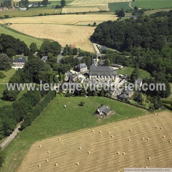
Saint-Vaast-Dieppedalle is a commune in the Seine-Maritime department in the Haute-Normandie region in northern France.
Contents
Map of 76450 Saint-Vaast-Dieppedalle, France
Geography
A small farming village in the Pays de Caux, situated some 34 miles (55 km) northeast of Le Havre, at the junction of the D53, D420 and D250 roads.
Places of interest
References
Saint-Vaast-Dieppedalle Wikipedia(Text) CC BY-SA