
Population (2012) 1,456 Local time Wednesday 2:58 AM | Area 18.17 km² | |
 | ||
Intercommunality Jurisdiction of Saint-Emilion Weather 9°C, Wind NE at 5 km/h, 85% Humidity Points of interest Chateau Plaisance - Saint Emi, Château Lescours, Château Mauvinon, Chateau Edmus, Vignobles Desplat | ||
Saint-Sulpice-de-Faleyrens is a commune in the Gironde department in Nouvelle-Aquitaine in southwestern France.
Contents
Map of Saint-Sulpice-de-Faleyrens, France
It is one of eight municipalities forming the jurisdiction of Saint-Emilion, which is a UNESCO World Heritage of Humanity for its historic vineyard landscape that has survived intact and in use.
Geography
Saint-Sulpice-de-Faleyrens is located 35 km (22 mi) northeast of Bordeaux, between Libourne and Branne.
Economy
The main activity of the town is related to viticulture.
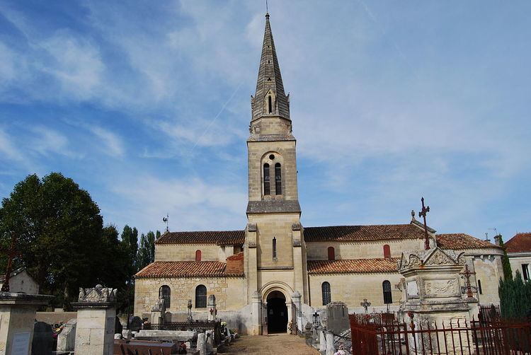
Sights
References
Saint-Sulpice-de-Faleyrens Wikipedia(Text) CC BY-SA