
Constituted July 1, 1855 Postal code(s) J5W 1G1 Area 52.8 km² Province Québec | Settled 1680 Time zone EST (UTC−5) Area code(s) 450 and 579 Population 3,273 (2011) Local time Tuesday 8:57 PM | |
 | ||
Weather 2°C, Wind S at 3 km/h, 100% Humidity | ||
Saint-Sulpice is a municipality in the Lanaudière region of Quebec, Canada, part of the L'Assomption Regional County Municipality. It is located on the north shore of the Saint Lawrence River and includes most of Verchères Islands.
Contents
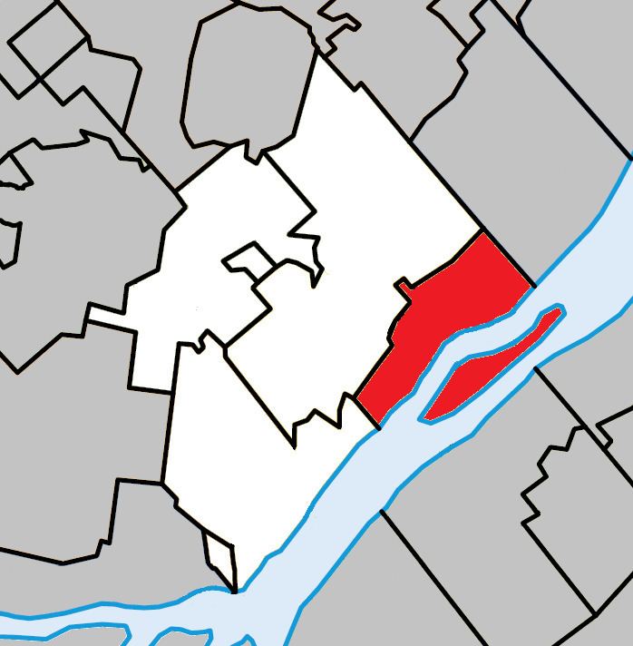
Map of Saint-Sulpice, QC, Canada
History
From 1680 onwards, French settlers colonized this area, clearing the land for cultivation. At that time it was part of the Saint-Sulpice Seignory that was owned by the Society of Saint-Sulpice. In 1640 the seignory granted a concession to Pierre Chevrier, Baron of Fancamp, and to Jérôme Le Royer.
In 1706, the settlement was assigned its first pastor and in 1715, it had the region's only flour mill in operation. The Parish of Saint-Sulpice was formed in 1722, taking its name from the seignory. In 1845, the parish municipality was formed and in 1854, its post office opened.