Canton Boves Area 7.76 km² Local time Wednesday 2:36 AM | Population 901 (1999) | |
 | ||
Weather 8°C, Wind S at 11 km/h, 83% Humidity | ||
Saint-Sauflieu is a commune in the Somme department in Hauts-de-France in northern France.
Contents
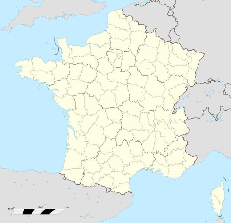
Map of 80160 Saint-Sauflieu, France
Geography
The commune is situated 9 miles (14 km) south of Amiens, just off the N1 road. To the immediate west of the commune are the traces of the Chaussée Brunehaut, an ancient Roman road joining Caesaromagus (Beauvais) with Samarobriva (Amiens). More traces of Gallo-Roman construction have been found to the north of the village, by aerial observation.
References
Saint-Sauflieu Wikipedia(Text) CC BY-SA
