
Time zone CET (UTC+1) Area 20.33 km² Population 243 (1999) | INSEE/Postal code 18232 /18370 Local time Wednesday 1:55 AM | |
 | ||
Weather 6°C, Wind SE at 2 km/h, 89% Humidity | ||
Saint-Priest-la-Marche is a commune in the Cher department in the Centre region of France.
Contents
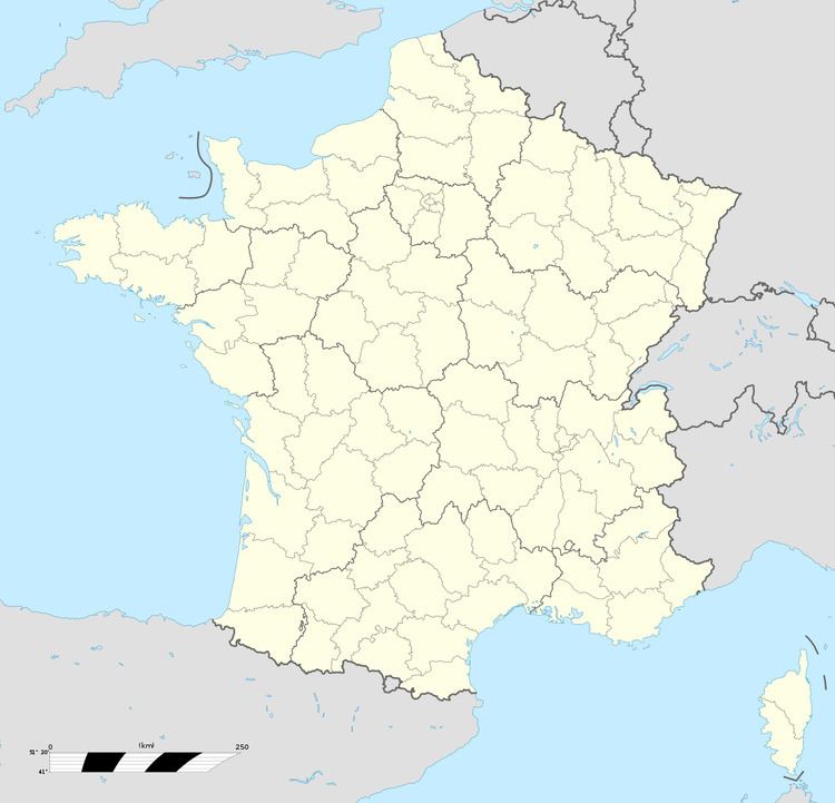
Map of 18370 Saint-Priest-la-Marche, France
Geography
A farming area comprising the village and several hamlets situated by the banks of the Indre River, about 48 miles (77 km) south of Bourges at the junction of the D203 with the D3e road. It is the southernmost commune of the department and borders the departments of Indre and Creuse.
Sights
References
Saint-Priest-la-Marche Wikipedia(Text) CC BY-SA