
Time zone CET (UTC+1) Area 20.38 km² Population 305 (1999) | Canton Le Châtelet INSEE/Postal code 18230 /18170 Local time Wednesday 1:46 AM | |
 | ||
Weather 7°C, Wind SE at 3 km/h, 87% Humidity | ||
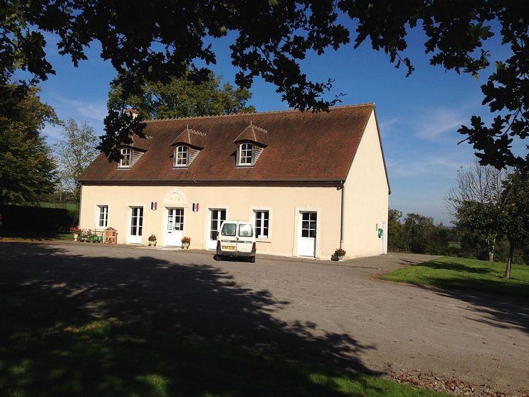
Saint-Pierre-les-Bois is a commune in the Cher department in the Centre region of France.
Contents
Map of 18170 Saint-Pierre-les-Bois, France
Geography
A farming area comprising the village and several hamlets situated by the banks of the small river Portefeuille, about 32 miles (51 km) south of Bourges at the junction of the D69 with the D3 road. The river Arnon forms a small part of the commune’s northern border.
Sights
References
Saint-Pierre-les-Bois Wikipedia(Text) CC BY-SA