
Area 27.34 km² Local time Wednesday 1:46 AM | Time zone CET (UTC+1) Population 791 (1999) | |
 | ||
Weather 7°C, Wind SE at 3 km/h, 87% Humidity | ||
Saint-Pierre-les-Étieux is a commune in the Cher department in the Centre region of France.
Contents
Map of 18210 Saint-Pierre-les-%C3%89tieux, France
Geography
A farming area comprising the village and several hamlets situated by the banks of the small river Marmande and the canal de Berry, about 28 miles (45 km) southeast of Bourges near the junction of the D136 with the D6 and D951 roads.
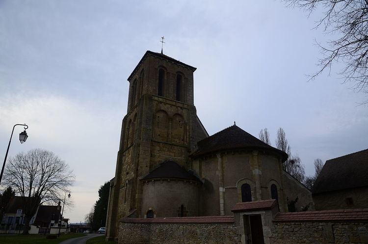
Sights
References
Saint-Pierre-les-Étieux Wikipedia(Text) CC BY-SA